Many communities at increased risk of flooding and wildfires will need to relocate. Here’s how local and regional governments can prepare.


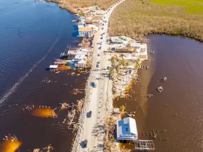
A report from the National Academies of Science, Engineering and Medicine (NASEM) urges coastal communities facing rising sea levels and other areas at risk from extreme weather to prepare for the possibility of having to relocate to adapt to the changing climate and landscape.
As Kaitlyn Levinson explains in Route Fifty, “Researchers estimate that the sea levels along the U.S. coastline could rise by up to 12 inches by 2050—an alarming progression considering that’s the same increase documented between 1920 and 2020.” Meanwhile, increasingly destructive wildfires are making some western towns unlivable. The report notes that inland communities will also need to prepare for increased migration and demand for essential services.
One way for communities to prepare is to conduct a land suitability analysis of potential relocation sites to ensure they can support the infrastructure needed. “In their relocation plans, officials should also consider amending or adopting rules on zoning, land acquisitions or open space management, the report said. For instance, policymakers can restrict future development in an area a community has moved from to prevent newer buildings from climate risks.” Governments are also creating property buyback programs to soften the impact of relocation and assist residents who would be financially burdened by the moving process.
Read the full story: Easier said than done: Tips for community relocation amid a changing climate
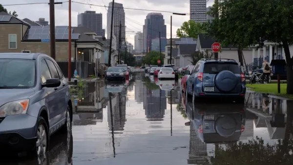
Study: New Orleans sea level rise is at 'point of no return'
Research shows that the city could be surrounded by water by the end of this century.
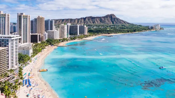
Rising Above: Innovative Solutions for Waikīkī’s Sea-Level Challenges
The University of Hawaiʻi at Mānoa’s award-winning Waikīkī sea-level rise adaptation project combines science, architecture, and community input to create scalable solutions for climate resilience and coastal flood mitigation.
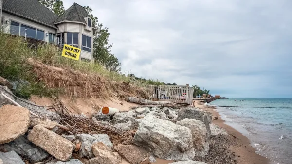
How US Cities Can Prepare for Climate Disasters
Resilience, encompassing infrastructure, governance, economic strength, and social cohesion, is critical for cities to mitigate rising climate risks like flooding, wildfires, and heat, ensuring long-term recovery and adaptability.
Planetizen Federal Action Tracker
A weekly monitor of how Trump’s orders and actions are impacting planners and planning in America.
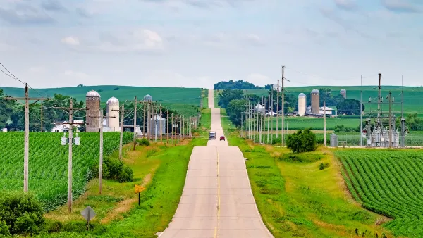
Eastern Nebraska is running out of electricity
Data centers and electrification are straining eastern Nebraska’s grid, throttling economic development.
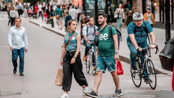
Study reveals best places in the U.S. for cycling, walking
New research from Streetlight Data examines bicycle and pedestrian miles per capita in the 100 largest U.S. cities by population.

Next-generation nuclear reactors are coming to Texas
The reactors will not require towering containment structures thanks to new safety features.

California distributes $1.3 billion to prevent transit service cuts, bolster projects
Twenty-eight projects across California received a portion of the funding.

Pennsylvania Democrats have 15 affordability, clean energy bills for flipped state Senate
Bills in consideration include a bill supporting geothermal energy and a bill supporting solar on warehouses.

FREE Course: Walkable City 1: Why Walkability?
After describing his path towards focusing on walkability as the essence of good planning, Jeff Speck marches through his five principal reasons for making more walkable places.
Reinventing Malls: Planning Alchemy—Turning Gray Fields Into Gold
The course focuses on the opportunities and imperatives that shape reinvention of mall sites.

City of Charlotte
City of Rosemead
Rutgers University, Edward J. Bloustein School of Planning and Public Policy
University of Michigan School for Environment and Sustainability (SEAS)
Hunter College, City University of New York (CUNY)
The Architects Foundation
City of Cambridge
The Pocatello Development Authority
The Urban Renewal Agency of the City of Pocatello