


The county requires builders to assess potential flood risks using models that account for sea level rise projected as far out as 2100.
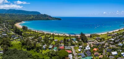
In a piece for Smart Cities Dive, Ysabelle Kempe describes one Hawai’i county’s efforts to build resilience in the face of climate impacts.
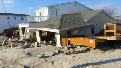
Last year, Kaua’i County “made a paradigm shift in how it protects private property from rising seas driven by climate change” by requiring new and ‘substantially renovated’ buildings to withstand levels of flooding predicted for the year 2100. “The rules made the county one of the first in the nation to ‘commit to using scientific model projections as the basis for construction and planning regulations,’ according to the [University of Hawai’i].”
Based on the new rules, “Residential buildings are required to be elevated 2 feet above the highest sea-level rise flood elevation, while nonresidential structures are required to be elevated 1 foot above that level.” According to Kempe, “the rules also aim to save taxpayer dollars on costly flood-control projects and ensure that those who live in risky areas take responsibility for their actions.”
The county created a “Sea Level Rise Constraint District Viewer” tool that maps predicted sea level rise. “The county also developed an app that allows people to generate a PDF report showing whether a proposed structure is subject to the rules and the maximum flood depth it is exposed to.”
Alan Clinton, administrative planning officer at Kaua’i County, says the ordinance is a “workable” middle-ground solution, but doesn’t address other concerns from local residents.
FULL STORY: Bracing for rising seas, a Hawai’i county makes builders prep for year 2100

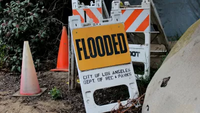
The True Scale of Flood Hazard Facing Los Angeles
New research sheds light on how L.A.’s aging and poorly maintained infrastructure is putting hundreds of thousands more residents in flood hazard zones than previously estimated.

Rising Above: Innovative Solutions for Waikīkī’s Sea-Level Challenges
The University of Hawaiʻi at Mānoa’s award-winning Waikīkī sea-level rise adaptation project combines science, architecture, and community input to create scalable solutions for climate resilience and coastal flood mitigation.
FEMA Rule Calls for Updated Flood Modeling
Agency-funded projects will be required to be elevated at least 2 feet above the projected local flood level.

Planetizen Federal Action Tracker
A weekly monitor of how Trump’s orders and actions are impacting planners and planning in America.

Maui's Vacation Rental Debate Turns Ugly
Verbal attacks, misinformation campaigns and fistfights plague a high-stakes debate to convert thousands of vacation rentals into long-term housing.

Restaurant Patios Were a Pandemic Win — Why Were They so Hard to Keep?
Social distancing requirements and changes in travel patterns prompted cities to pilot new uses for street and sidewalk space. Then it got complicated.

In California Battle of Housing vs. Environment, Housing Just Won
A new state law significantly limits the power of CEQA, an environmental review law that served as a powerful tool for blocking new development.

Boulder Eliminates Parking Minimums Citywide
Officials estimate the cost of building a single underground parking space at up to $100,000.

Orange County, Florida Adopts Largest US “Sprawl Repair” Code
The ‘Orange Code’ seeks to rectify decades of sprawl-inducing, car-oriented development.
Urban Design for Planners 1: Software Tools
This six-course series explores essential urban design concepts using open source software and equips planners with the tools they need to participate fully in the urban design process.
Planning for Universal Design
Learn the tools for implementing Universal Design in planning regulations.
Heyer Gruel & Associates PA
JM Goldson LLC
Custer County Colorado
City of Camden Redevelopment Agency
City of Astoria
Transportation Research & Education Center (TREC) at Portland State University
Jefferson Parish Government
Camden Redevelopment Agency
City of Claremont