


After the state broke ground on a tolled express lane project at the eastern edge of Kansas, near Kansas City, tolls are also under consideration in the nascent stages of a corridor study located at the southwest edge of the same region.

Options for investments along a 17.5-mile stretch of State Highway 10 where it runs through Johnson County, Kansas could include tolling.
Kaylie McLaughlin reports that consultants from HNTB are currently working on a corridor study for the state of Kansas—only the most recent study in a series of studies over the years, according to the article.
“Now, as traffic continues to increase and growth in the western part of the county booms, state and local leaders are looking at K-10 again, particularly the area between Cedar Creek Parkway in Olathe and where K-10 ends at I-435 in Lenexa,” writes McLaughlin. Poor repair and safety issues are also cited as a need for the investments along the corridor.
But tolls are the headlining topic of discussion in the study. “One solution discussed at length was the potential to add an express toll lane on K-10 through Johnson County, likely mostly in Lenexa, where traffic picks up closer to I-435,” reports McLaughlin.
According to McLaughlin, tolling is a relatively novel approach for the state of Kansas, but the state recently began work on express toll lanes along U.S. Highway 69 in Overland Park.
FULL STORY: Toll lane floated as way to ease K-10 congestion in JoCo

Maryland's Controversial Highway Widening Proposal Scaled Back
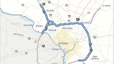
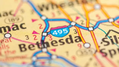
Interstate 270, the Capital Beltway, will no longer by widened as part of the I-495/I-270 Managed Lanes Project.
Maryland's Highway Expansion Project Out to Bid
Vocal opposition hasn't slowed the Maryland Department of Transportation's progress of the I-495/I-270 Managed Lanes Project.
Draft Environmental Impact Statement for Maryland's Big Highway Widening Project Released
The state of Maryland is moving forward with a highway widening plan that would spend $11 billion in a private-partnership to add toll lanes to two Capital Beltway highways.

Maui's Vacation Rental Debate Turns Ugly
Verbal attacks, misinformation campaigns and fistfights plague a high-stakes debate to convert thousands of vacation rentals into long-term housing.

Planetizen Federal Action Tracker
A weekly monitor of how Trump’s orders and actions are impacting planners and planning in America.

In Urban Planning, AI Prompting Could be the New Design Thinking
Creativity has long been key to great urban design. What if we see AI as our new creative partner?

Pedestrian Deaths Drop, Remain Twice as High as in 2009
Fatalities declined by 4 percent in 2024, but the U.S. is still nowhere close to ‘Vision Zero.’

King County Supportive Housing Program Offers Hope for Unhoused Residents
The county is taking a ‘Housing First’ approach that prioritizes getting people into housing, then offering wraparound supportive services.

Researchers Use AI to Get Clearer Picture of US Housing
Analysts are using artificial intelligence to supercharge their research by allowing them to comb through data faster. Though these AI tools can be error prone, they save time and housing researchers are optimistic about the future.
Urban Design for Planners 1: Software Tools
This six-course series explores essential urban design concepts using open source software and equips planners with the tools they need to participate fully in the urban design process.
Planning for Universal Design
Learn the tools for implementing Universal Design in planning regulations.
planning NEXT
Appalachian Highlands Housing Partners
Mpact (founded as Rail~Volution)
City of Camden Redevelopment Agency
City of Astoria
City of Portland
City of Laramie