The U.S. Census Bureau raised the bar for communities to qualify as urban areas.


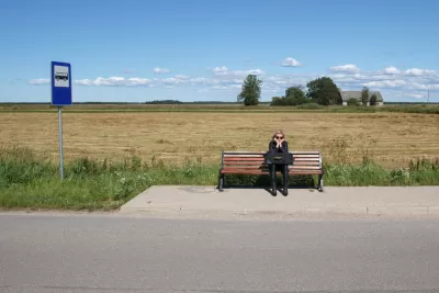
A change in definition by the U.S. Census Bureau has reclassified nearly 1,000 “urban areas” in the United States, defined by the U.S. Census Bureau as “densely developed residential, commercial, and other nonresidential areas.”
According to an announcement on December 29, the Census Bureau has changed the criteria to fit that definition, most notably by raising the minimum population threshold for an urban area from 2,500 to 5,000 or a minimum housing unit threshold of 2,000 housing units.
Other criteria changes include reducing the “jump distance” from 2.5 miles to 1.5 miles (jump distance “is the distance along roads used to connect high-density urban territories surrounded by rural territory,” according to the press release) and no longer distinguishing between urbanized areas and urban clusters.
After the change, urban areas account for 80.0% of the U.S. population, down from 80.7% in 2010, according to the press release. “The rural population — the population in any areas outside of those classified as urban — increased as a percentage of the national population from 19.3% in 2010 to 20.0% in 2020.”
The press release states clearly that shifting population ratios in the country are a result of the change of definition—not a shift of population from urban to rural (though there is some evidence of such a trend in recent years).
The Associated Press provided news coverage of the criteria change. For more information on the population estimates published by the Census in December, see previous Planetizen coverage.
Read the full story: Nation’s Urban and Rural Populations Shift Following 2020 Census
Detroit and Michigan on the Upswing
It's been 66 years since the Motor City last grew its population. Census data released last month revealed an increase of nearly 2,000 people last year, nearly half the state's population growth.

The 15 Fastest-Growing Cities in the US
The U.S. Census Bureau released new 2023 population estimates on May 16 showing a slew of data for cities of all sizes and regions. Do you know the population change last year for the 15 largest cities in your state?
California Halts Three Years of Population Loss
The Golden State grew by 67,000 people, or 0.17%, last year, to just over 39.1 million on Jan. 1, 2024, according to a demographic report released April 30 by the California Department of Finance.

Planetizen Federal Action Tracker
A weekly monitor of how Trump’s orders and actions are impacting planners and planning in America.

California plans to bury El Niño’s downpour
If the state plays its cards right, it may be able to store a billion acre-feet of El Niño’s water in aquifers.

Desperate measures: Advocates weigh draining Lake Powell to fill Colorado River
Draining the reservoir could reduce evaporation losses by a couple hundred thousand acre-feet.

US buildings threatened, destroyed by fires set to triple by 2060
Researchers found a high fire risk for socioeconomically vulnerable neighborhoods in the American West.

LA residents may be allowed to paint their own crosswalks
Councilwoman Katy Yaroslavsky put out a motion instructing the Los Angeles Department of Public Transportation to study the feasibility of allowing volunteers to paint crosswalks.

Dallas moves to overhaul its zoning code
The city's zoning reform will allow more multi-family and mixed-use developments.

FREE Course: Walkable City 1: Why Walkability?
After describing his path towards focusing on walkability as the essence of good planning, Jeff Speck marches through his five principal reasons for making more walkable places.
Reinventing Malls: Planning Alchemy—Turning Gray Fields Into Gold
The course focuses on the opportunities and imperatives that shape reinvention of mall sites.

City of Rosemead
Rutgers University, Edward J. Bloustein School of Planning and Public Policy
One Hundred Miles
Hunter College, City University of New York (CUNY)
The Architects Foundation
University of Cincinnati Online
City of Cambridge
Montrose County
The Pocatello Development Authority