


The 17-acre Second Ward project has spurred both optimism for a more walkable city and concerns about displacement and gentrification.
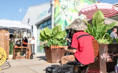
A proposed Houston development could achieve some ambitious firsts for the historically sprawling city: “a pedestrian-friendly neighborhood of adaptive reuse buildings where low- and middle-income residents can live affordably, and where owning a car would be optional.”
As Marissa Luck explains in the Houston Chronicle, “Houston real estate firm Concept Neighborhood — a group of entrepreneurs that include some of founders of the Axelrad beer garden — previously unveiled plans to convert the former W-K-M warehouse complex in the East End into a mixed-use destination with hyperlocal businesses and walkable streets.” The 17-acre project will have up to 1,000 mixed-income housing units and 250,000 square feet of retail and office space, as well as a rails-to-trails conversion.
While the developers promise to “devise strategies for assisting small business tenants,” current tenants worry that rent increases will push them out of the area. Concept Neighborhood also plans to keep apartments affordable by opting out of high-end amenities and designing ‘micro units’ at around 400 square feet.
The project is still a long way from reality as Concept seeks financing and retail partners, as well as cooperation from adjacent property owners, whose own designs will influence the walkability of the area. “Walkability also will be influenced by what entities, such as the city of Houston and East End District, can accomplish in upgrading streets to make the pedestrian experience safer.”
FULL STORY: Exclusive: New 17-acre East End project aims to make cars obsolete with walkable, 'micro' living

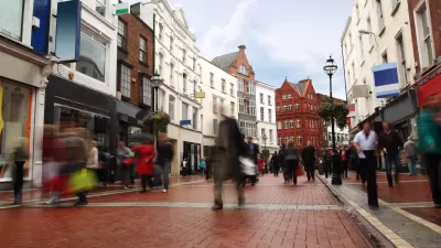
How Walkable ‘Activity Centers’ Can Reduce Driving
Encouraging mixed-use neighborhoods that help reduce vehicle miles driven and put urban amenities within easy walking distance is possible with surprisingly modest policy tweaks.
Push and Pull: The Link Between Walkability and Affordability
The increased demand for walkable urban spaces could make them more and more exclusionary if cities don’t pursue policies to limit displacement and boost affordability.
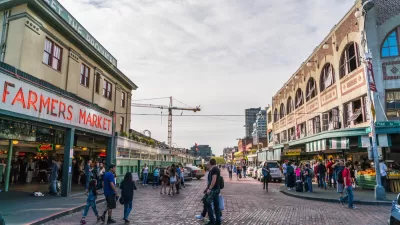
Houston's East River Redevelopment Threatens Historic Black Neighborhoods
Longtime residents are being left behind by new development that has raised housing costs and property taxes for some of Houston's most vulnerable communities, according to an article in the Houston Chronicle.

Planetizen Federal Action Tracker
A weekly monitor of how Trump’s orders and actions are impacting planners and planning in America.

Maui's Vacation Rental Debate Turns Ugly
Verbal attacks, misinformation campaigns and fistfights plague a high-stakes debate to convert thousands of vacation rentals into long-term housing.

San Francisco Suspends Traffic Calming Amidst Record Deaths
Citing “a challenging fiscal landscape,” the city will cease the program on the heels of 42 traffic deaths, including 24 pedestrians.

Amtrak Rolls Out New Orleans to Alabama “Mardi Gras” Train
The new service will operate morning and evening departures between Mobile and New Orleans.

The Subversive Car-Free Guide to Trump's Great American Road Trip
Car-free ways to access Chicagoland’s best tourist attractions.

San Antonio and Austin are Fusing Into one Massive Megaregion
The region spanning the two central Texas cities is growing fast, posing challenges for local infrastructure and water supplies.
Urban Design for Planners 1: Software Tools
This six-course series explores essential urban design concepts using open source software and equips planners with the tools they need to participate fully in the urban design process.
Planning for Universal Design
Learn the tools for implementing Universal Design in planning regulations.
Heyer Gruel & Associates PA
JM Goldson LLC
Custer County Colorado
City of Camden Redevelopment Agency
City of Astoria
Transportation Research & Education Center (TREC) at Portland State University
Jefferson Parish Government
Camden Redevelopment Agency
City of Claremont