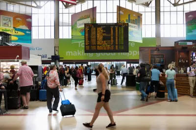
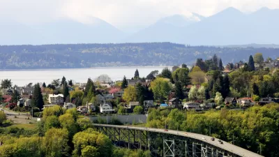
A case study from the Boston region shows the power of allowing moderate density on transit adjacent residential parcels currently available only to single-family detached homes.

"[H]igh housing costs and inadequate supply are not a natural outcome of market forces; they are the result of policy choices," according to an article by Sarah Crump, Trevor Mattos, Jenny Schuetz, and Luc Schuster.
The consequences of policy choices are a disconnect between land values and land uses in the Boston region.
Land is very expensive, but the housing is mostly low-density: single-family detached homes with large yards. The Massachusetts Housing Partnership’s TODEX dataset shows that the median housing density near commuter rail stations is 2.8 homes per acre—equivalent to single-family homes on one-third acre lots. This isn’t a market outcome—it’s a sign that zoning is preventing housing markets from working.
This team of writers is presenting a new report that offers a prescription for the rising cost of housing, and resulting social ills, in Boston: loosening zoning restrictions to allow moderate-density housing near transit stations in the region, thus bringing policy and the market in closer alignment.
To allow for more housing to be built in high-demand locations, the state of Massachusetts should adopt a policy that allows moderate-density housing to be built as-of-right within a half mile of transit stations. Moderate-density housing includes duplexes, attached townhouses, and low- to mid-rise multifamily buildings.
To exemplify the affect of such a hypothetical approach to land use regulation in the state of Massachusetts, the article and the report imagines the effect of such policies on land near four commuter rail stations: Beverly Farms, Melrose Cedar Park, Needham Heights, and Wellesley Hills. The results of the experiment show decreasing home prices, and a essential first step toward solving the region's affordability problems.
FULL STORY: Fixing Greater Boston’s housing crisis starts with legalizing apartments near transit

Planetizen Federal Action Tracker
A weekly monitor of how Trump’s orders and actions are impacting planners and planning in America.

Maui's Vacation Rental Debate Turns Ugly
Verbal attacks, misinformation campaigns and fistfights plague a high-stakes debate to convert thousands of vacation rentals into long-term housing.

Restaurant Patios Were a Pandemic Win — Why Were They so Hard to Keep?
Social distancing requirements and changes in travel patterns prompted cities to pilot new uses for street and sidewalk space. Then it got complicated.

Charlottesville Temporarily Has No Zoning Code
A judge ordered the Virginia city to throw out its newly revised zoning code, leaving permitting for new development in legal limbo.

In California Battle of Housing vs. Environment, Housing Just Won
A new state law significantly limits the power of CEQA, an environmental review law that served as a powerful tool for blocking new development.

Boulder Eliminates Parking Minimums Citywide
Officials estimate the cost of building a single underground parking space at up to $100,000.
Urban Design for Planners 1: Software Tools
This six-course series explores essential urban design concepts using open source software and equips planners with the tools they need to participate fully in the urban design process.
Planning for Universal Design
Learn the tools for implementing Universal Design in planning regulations.
Heyer Gruel & Associates PA
JM Goldson LLC
Custer County Colorado
City of Camden Redevelopment Agency
City of Astoria
Transportation Research & Education Center (TREC) at Portland State University
Jefferson Parish Government
Camden Redevelopment Agency
City of Claremont


