The proposal would reduce barriers to the development of denser housing.

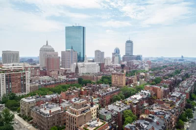
A proposal from the Boston Planning and Development Agency would change the city’s zoning rules to a form-based code designed to make it easier to build denser housing and mixed-use developments, particularly near transit.
As Catherine Carlock explains in the Boston Globe, “It’s a process the city’s calling ‘squares and streets,’ and they hope it serves as an example of how to both modernize the zoning code and to address community needs, all through a lens of long-term sustainability.”
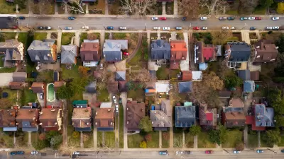
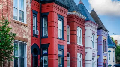
“If the draft squares and streets zoning plan is approved by the city’s Zoning Commission next month, communities and neighborhoods will be able to select from a ‘menu’ of five proposed building types, from ‘transition residential’ and ‘main street living’ — housing and mixed-use buildings capped at 50 feet — to ‘active’ zones allowing buildings as high as 85 feet with street-level retail with housing, office or other commercial space above.”
While specific sites have not been selected for denser development, the city points out there are areas near transit stops that could benefit from more housing.
FULL STORY: Wu pushes plan to streamline Boston’s complex zoning

Planetizen Federal Action Tracker
A weekly monitor of how Trump’s orders and actions are impacting planners and planning in America.

Maui's Vacation Rental Debate Turns Ugly
Verbal attacks, misinformation campaigns and fistfights plague a high-stakes debate to convert thousands of vacation rentals into long-term housing.

Restaurant Patios Were a Pandemic Win — Why Were They so Hard to Keep?
Social distancing requirements and changes in travel patterns prompted cities to pilot new uses for street and sidewalk space. Then it got complicated.

In California Battle of Housing vs. Environment, Housing Just Won
A new state law significantly limits the power of CEQA, an environmental review law that served as a powerful tool for blocking new development.

Boulder Eliminates Parking Minimums Citywide
Officials estimate the cost of building a single underground parking space at up to $100,000.

Orange County, Florida Adopts Largest US “Sprawl Repair” Code
The ‘Orange Code’ seeks to rectify decades of sprawl-inducing, car-oriented development.
Urban Design for Planners 1: Software Tools
This six-course series explores essential urban design concepts using open source software and equips planners with the tools they need to participate fully in the urban design process.
Planning for Universal Design
Learn the tools for implementing Universal Design in planning regulations.
Heyer Gruel & Associates PA
JM Goldson LLC
Custer County Colorado
City of Camden Redevelopment Agency
City of Astoria
Transportation Research & Education Center (TREC) at Portland State University
Jefferson Parish Government
Camden Redevelopment Agency
City of Claremont


