The Transit app has created the most comprehensive portal for transit ridership data—with a key caveat made about the source of the data.


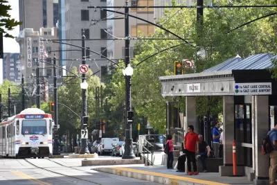
"Public transit is experiencing drops in demand across the board — while continuing to be a lifeline for those who must travel," according to a Coronavirus page set up recently by the Transit app to track transit ridership on U.S. transit systems as the effects of the pandemic take hold around the country.
While reporting on transit ridership has been piecemeal in recent days, the new website consolidates transit ridership data into one place, reporting daily figures starting on February 15 for France, Canada, and the United States, as well as providing specific data by transit agency.
One key caveat of the data provided here: these data aren’t official ridership figures, but a rough proxy for demand based on the use of the app. "We compare actual usage of the app, to projected use of the app based on last year’s numbers (adjusted for annual growth) to measure how far we are from ‘normal," according to methodology of the page.
FULL STORY: How coronavirus is disrupting public transit

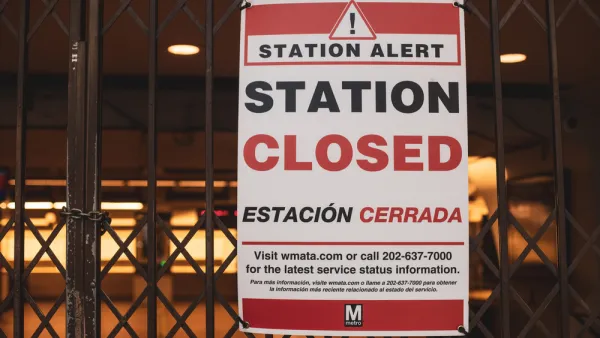
D.C. Metro Seeks Public Input on Proposed Service Cuts
D.C. Metro Seeks Public Input on Proposed Service Cuts
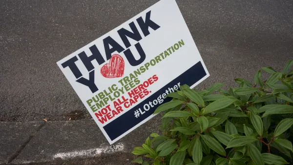
Public Transit in Crisis: Low-Income Riders Have the Most to Lose From Service Cuts
Riders who rely most on public transit are suffering the worst consequences of the cuts to service during the fiscal belt tightening of the coronavirus pandemic.
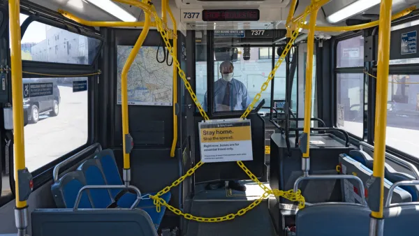
Ridership Up, Speeds Down for Buses in New York City
The new normal might be fleeting on buses in New York City, but it's already different than the normal routine during the early months of the pandemic.

Planetizen Federal Action Tracker
A weekly monitor of how Trump’s orders and actions are impacting planners and planning in America.

The state-sanctioned urbicide of Austin
People don’t kill cities. Freeways do.

US to reduce Colorado River water deliveries to Mexico
A new Colorado Treaty amendment reduces Mexico’s Colorado River water allocation by 250,000 acre feet.

5 New England states march closer to 800 megawatt wind energy project
Securing federal approval for the project may be complicated under the Trump administration, which has historically been hostile towards domestic wind power.

Baltimore to break ground on $50 million Transit Priority Project
The project will bring faster bus trips, safer streets and better bike connections to Baltimore.

Airbnb launches $250 million 'last-dollar financing' housing accelerator, makes first investment in Austin
The company will put $6.4 million towards affordable housing development in Texas’ capital.

FREE Course: Walkable City 1: Why Walkability?
After describing his path towards focusing on walkability as the essence of good planning, Jeff Speck marches through his five principal reasons for making more walkable places.
Reinventing Malls: Planning Alchemy—Turning Gray Fields Into Gold
The course focuses on the opportunities and imperatives that shape reinvention of mall sites.

Eagle County Government
Harvard University Graduate School of Design
Nashville Planning Department
The Architects Foundation
University of Cincinnati Online
The Pocatello Development Authority
The Urban Renewal Agency of the City of Pocatello
Journal of the American Planning Association