Comparing Houston in 2010 to the city today reveals a variety of transportation, infrastructure, and economic changes.



The Kinder Houston Area Survey, conducted annually over the last 38 years, offers useful insight into how Houston has evolved and changed over the last decade. "It’s an important and unique historical record of time and place allowing for longitudinal analyses of the city and surrounding region," writes Andy Olin.
Over the 2010s, Houston expanded its bus and light rail networks, and it launched a bikeshare program in 2012. Support for public transit has grown since 2010, when just over half of respondents to the survey said that transportation funding should go toward public transit. In 2018, 61 percent "said a mass transit system is 'very important' to the future success of Houston," reports Olin.
Houston has more green space now, including a number of upgrades to and expansions of the city’s parks and hiking and biking trails. Public opinion about climate change has shifted as well, particularly after the city was devastated by Hurricane Harvey in 2017. "[In 2010,] only 39% of survey participants saw the threat of climate change as a 'very serious problem.' By 2019, that proportion grew to 53%," writes Olin.
While the Houston economy is relatively strong and unemployment has dropped in the last decade, poverty and economic hardship continue to be issues, says Olin. "Support for government programs to address inequalities in America has risen steadily in the past decade. The proportions who agree the government should take action to reduce income differences went from 45% in 2010 to 66% in 2018."
Read the full story: How Houston has changed — and stayed the same — in the past 10 years
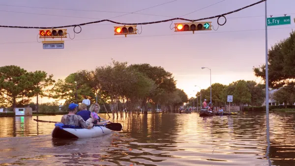
Flooding Less of a Concern as Hurricane Memories Fade
Residents of Houston are less likely to think of flooding as a concern, or to think development should be prohibited in flood-prone areas, as in the years immediately following Hurricane Harvey.
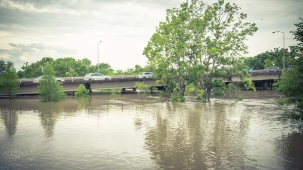
Criticism for Army Corps' Houston Flood Protection Plans
The U.S. Army Corps of Engineers has revised a plan to protect the Houston region from flooding by tossing out a proposed tunnel and opting instead to dig Buffalo Bayou wider and deeper.
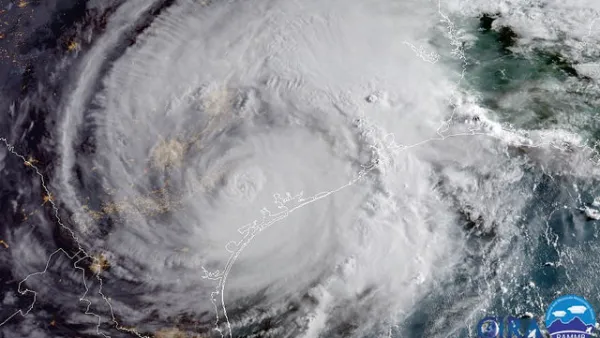
It's Now Safe to Link Hurricane Precipitation and Climate Change
A new study from MIT makes a clear connection between the intensity of rainfall caused by Hurricane Harvey last August in Texas and climate change, concluding that the likelihood of stronger downpours is greatly increasing.
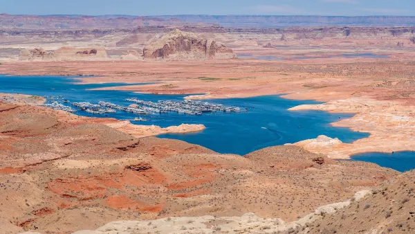
Desperate measures: Advocates weigh draining Lake Powell to fill Colorado River
Draining the reservoir could reduce evaporation losses by a couple hundred thousand acre-feet.

Eastern Nebraska is running out of electricity
Data centers and electrification are straining eastern Nebraska’s grid, throttling economic development.

Malls are becoming the midtowns of the future
Mall and office park redevelopments are a generational opportunity to create new nodes of urbanity.

NYC breaks ground on anti-flooding infrastructure project
New York City's new system will reduce stormwater flows to local sewers by 90%.

One Kentucky town’s secret to affordable housing
The Smoketown Community Land Trust has already built seven affordable homes for community members.

Houston gains petal-shaped cooling infrastructure to make streets more ‘delightful’
The city has installed the pavilions along 15 blocks in Houston.

FREE Course: Walkable City 1: Why Walkability?
After describing his path towards focusing on walkability as the essence of good planning, Jeff Speck marches through his five principal reasons for making more walkable places.
Reinventing Malls: Planning Alchemy—Turning Gray Fields Into Gold
The course focuses on the opportunities and imperatives that shape reinvention of mall sites.

City of Rosemead
Rutgers University, Edward J. Bloustein School of Planning and Public Policy
One Hundred Miles
University of Michigan School for Environment and Sustainability (SEAS)
Hunter College, City University of New York (CUNY)
The Architects Foundation
City of Cambridge
Montrose County
The Pocatello Development Authority