


Municipalities can help fill in a crucial piece of the affordable housing puzzle by making public land accessible for development.
"Housing is expensive to construct and maintain, so every dollar saved on land or other costs helps affordable developments pencil out. Leveraging public land for affordable housing allows local jurisdictions to make a substantial contribution to more affordable housing without imposing (PDF) additional taxes or fees on residents," writes Aaron Shroyer.
Seattle has moved away from an approach that seeks to maximize revenue from the sale of public land and instead considers the best use of the land. Last year, the city passed a resolution that makes affordable housing a priority when disposing of public land. "The City of Seattle is also looking more expansively at use of public land by exploring opportunities at smaller-scale properties and through partnerships with other public agencies," says Shroyer.
Shroyer encourages other jurisdictions to look to Seattle as an example of how to prioritize the use of public land for affordable housing developments. "Municipal governments should also work with other public entities, such as transportation authorities, hospitals, and school districts, that may have surplus land suitable for affordable housing development," he adds.
FULL STORY: How Using Public Land Can Help Address Housing Shortages

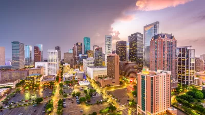
Report: Las Vegas, Houston Top List of Least Affordable Cities
The report assesses the availability of affordable rental units for low-income households.

The Quiet Housing Crisis in Rural America
While housing shortages in major cities are grabbing headlines, rural communities are seeing higher rates of growth in housing prices and a silently spreading homelessness crisis.
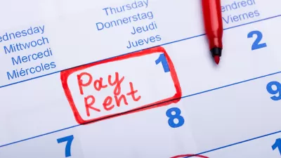
Over 40 Percent of U.S. Tenants Are ‘Rent Burdened’
Despite a small downturn in average rents at the end of last year, American renter households continue to struggle with unaffordable housing costs.

Planetizen Federal Action Tracker
A weekly monitor of how Trump’s orders and actions are impacting planners and planning in America.

Restaurant Patios Were a Pandemic Win — Why Were They so Hard to Keep?
Social distancing requirements and changes in travel patterns prompted cities to pilot new uses for street and sidewalk space. Then it got complicated.

Map: Where Senate Republicans Want to Sell Your Public Lands
For public land advocates, the Senate Republicans’ proposal to sell millions of acres of public land in the West is “the biggest fight of their careers.”

Maui's Vacation Rental Debate Turns Ugly
Verbal attacks, misinformation campaigns and fistfights plague a high-stakes debate to convert thousands of vacation rentals into long-term housing.

San Francisco Suspends Traffic Calming Amidst Record Deaths
Citing “a challenging fiscal landscape,” the city will cease the program on the heels of 42 traffic deaths, including 24 pedestrians.

California Homeless Arrests, Citations Spike After Ruling
An investigation reveals that anti-homeless actions increased up to 500% after Grants Pass v. Johnson — even in cities claiming no policy change.
Urban Design for Planners 1: Software Tools
This six-course series explores essential urban design concepts using open source software and equips planners with the tools they need to participate fully in the urban design process.
Planning for Universal Design
Learn the tools for implementing Universal Design in planning regulations.
Heyer Gruel & Associates PA
JM Goldson LLC
Custer County Colorado
City of Camden Redevelopment Agency
City of Astoria
Transportation Research & Education Center (TREC) at Portland State University
Camden Redevelopment Agency
City of Claremont
Municipality of Princeton (NJ)