A neighborhood in New Orleans, badly damaged after Hurricane Katrina, is providing a test bed for an innovative new approach to urban planning.


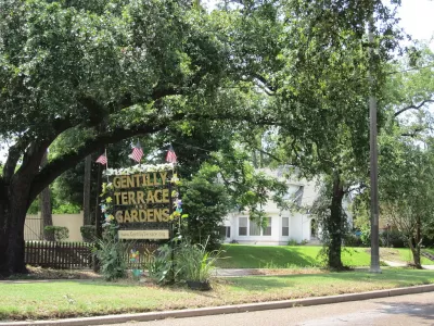
"In 2015, grant writers in New Orleans decided that art should be part of resilience planning," reports Zoe Sullivan.
That decision was connected to work on a competitive Housing and Urban Development Department (HUD) grant to support the planning and water-management infrastructure for the Gentilly Resilience District," according to Sullivan. "In 2016, New Orleans was one of 13 communities to win a $141 million grant in the National Disaster Resilience Competition organized by HUD and the Rockefeller Foundation."
"The competition aimed to inspire and support cities working to make themselves more resilient to the impacts of climate change. Now, three years after the award was announced, the Arts Council of New Orleans is conducting trainings for artists who want to get involved in co-creating public art in the neighborhood."
Sullivan describes a lot more about how the grant money is being implemented, the philosophy behind art at a component of resilience planning, and some of the public art elements that have grown out of the effort to this point.
FULL STORY: How New Orleans Is Adding Art to Resilience Planning


Resilient Los Angeles: Preparing for Overlapping Disasters in Pandemic
L.A. City Chief Resilience Officer Aaron Gross elaborates on how the pandemic is shaping the city’s understanding of resilience and the cascading impact that overlapping disasters of earthquake or wildfire could have on the city’s limited resources.
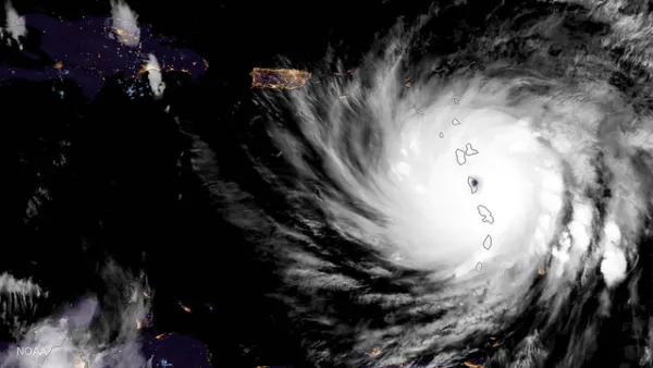
Coronavirus a Major New Complication for Extreme Weather Events
Climate change might not allow the relief from the pandemic that many have been hoping for as the country enters the summer months, as evacuations during the hurricane, tornado, and fire seasons will take on new elements of risk.
Resilience Plan Revealed in London
Resilience in a post-Brexit London.

Planetizen Federal Action Tracker
A weekly monitor of how Trump’s orders and actions are impacting planners and planning in America.

The state-sanctioned urbicide of Austin
People don’t kill cities. Freeways do.

US to reduce Colorado River water deliveries to Mexico
A new Colorado Treaty amendment reduces Mexico’s Colorado River water allocation by 250,000 acre feet.

5 New England states march closer to 800 megawatt wind energy project
Securing federal approval for the project may be complicated under the Trump administration, which has historically been hostile towards domestic wind power.

Baltimore to break ground on $50 million Transit Priority Project
The project will bring faster bus trips, safer streets and better bike connections to Baltimore.

Airbnb launches $250 million 'last-dollar financing' housing accelerator, makes first investment in Austin
The company will put $6.4 million towards affordable housing development in Texas’ capital.

FREE Course: Walkable City 1: Why Walkability?
After describing his path towards focusing on walkability as the essence of good planning, Jeff Speck marches through his five principal reasons for making more walkable places.
Reinventing Malls: Planning Alchemy—Turning Gray Fields Into Gold
The course focuses on the opportunities and imperatives that shape reinvention of mall sites.


Eagle County Government
Harvard University Graduate School of Design
Nashville Planning Department
The Architects Foundation
University of Cincinnati Online
The Pocatello Development Authority
The Urban Renewal Agency of the City of Pocatello
Journal of the American Planning Association