


During a time when there are apps and websites for just about everything, some transit agencies are turning to storefronts to better serve their customers.

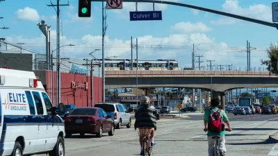
It may not be as widely known as Melrose Avenue or Rodeo Drive but La Brea Avenue holds its own among Los Angeles’ trendy streets. Until recently, an arresting storefront of shimmering turquoise and teal tiles stood at the intersection of Wilshire Boulevard amid the artisanal pizza restaurants, mixology bars and vintage clothing shops.’’
Despite appearances, it didn’t sell Japanese denim, nor did it spin drum-and-bass until 2 a.m. Far more humbly, it sold transit passes, collected lost items, and dispensed — for free — information about the nation’s second-largest transit agency.
The center was recently relocated to make way for Los Angeles Metro’s subway extension, but when it was open, it set an important tone of the agency’s relationship with the riding public.
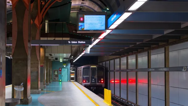
Transit agencies, whether they run buses, trains, ferries, bike share systems, or other mediums of mobility, exist in a state of paradox. While their vehicles, signage and street furniture is highly visible and they serve millions of customers each year, many lack a physical connection with their customers. But some transit providers are working to change that.
During a time when there are apps and websites for just about everything — including purchasing train tickets and viewing schedules — some transit agencies are turning to storefronts to better serve their customers.
“What it really provides is for somebody to be able to walk in and get immediate service. I think it satisfies an immediate need,” said Adrian Paniagua, supervisor of San Diego Metropolitan Transit System’s customer service center. “I think the philosophy here is it’s an essential component to overall customer satisfaction. We have a 90-plus percent satisfaction rate with our customers. We want to keep it that way.”
FULL STORY: Storefront Service Centers Put Transit Agencies on Solid Footing

Designing a Multi-Modal, User-Focused TOD Vision for Los Angeles' Expo Line
Facing explosive development interest around its Metro station, the small city of Culver on L.A.’s Westside is taking steps to shape its mobility future.
Is Marketing the Key to Transit Success?
Los Angeles County's transit agency has increased its marketing efforts in recent years. This piece from The City Fix suggests the push has been an effective tool and that other transit agencies should take note.
LA Transit Ridership Plummets Amidst ICE Raids
LA Metro’s bus and rail lines are seeing up to 15 percent lower ridership in the wake of violent immigration arrests.

Planetizen Federal Action Tracker
A weekly monitor of how Trump’s orders and actions are impacting planners and planning in America.

Maui's Vacation Rental Debate Turns Ugly
Verbal attacks, misinformation campaigns and fistfights plague a high-stakes debate to convert thousands of vacation rentals into long-term housing.

Cuomo Is the Candidate of Both NIMBYs and Developers. What Gives?
In the New York City mayoral race, odd bedfellows align to preserve the housing status quo.

San Antonio and Austin are Fusing Into one Massive Megaregion
The region spanning the two central Texas cities is growing fast, posing challenges for local infrastructure and water supplies.

Charlottesville Temporarily Has No Zoning Code
A judge ordered the Virginia city to throw out its newly revised zoning code, leaving permitting for new development in legal limbo.

In California Battle of Housing vs. Environment, Housing Just Won
A new state law significantly limits the power of CEQA, an environmental review law that served as a powerful tool for blocking new development.
Urban Design for Planners 1: Software Tools
This six-course series explores essential urban design concepts using open source software and equips planners with the tools they need to participate fully in the urban design process.
Planning for Universal Design
Learn the tools for implementing Universal Design in planning regulations.
Heyer Gruel & Associates PA
JM Goldson LLC
Custer County Colorado
City of Camden Redevelopment Agency
City of Astoria
Transportation Research & Education Center (TREC) at Portland State University
Jefferson Parish Government
Camden Redevelopment Agency
City of Claremont