The Transportation Planning Organization will budget a study on how best to connect trails to transit hubs.



Miami's Transportation Planning Organization is looking at how to connect biking and walking infrastructure with its public transit. The Strategic Miami Area Rapid Transit or SMART plan, is looking at how to improve or connect a number of different trails like "…the Underline, a 10-mile linear park and urban trail below the Metrorail running from the Miami River north of the Brickell Metrorail station to the Dadeland Metrorail station; the 6.2-mile multi-use Ludlam Trail running parallel to and west of Ludlam Road from near Northwest Seventh to Southwest 80th streets; and the Miami River Greenway, a public pathway running about 5.5 miles on both sides of the river west from Biscayne Bay toward Miami International Airport," Jesse Scheckner reports for Miami Today.
The Transport Planning Organization has just purchased a former railroad line, "they unanimously green-lighted the purchase of the Ludlam Trail from Brightline owner Florida East Coast Industries, whose discontinued railroad corridor comprises the six-mile linear greenway," Scheckner writes. The development of that trail would connect bikers to two transit hubs, numerous schools, businesses and residences.
Read the full story: Miami-Dade Transportation Planning Organization study aims to tie bike, walking trails into mass transit plan

April must-reads: Top 10 articles from last month
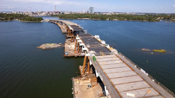
The world's longest car-free bridge opens in Finland, Amtrak's new Mardi Gras line shatters ridership predictions, and Bay Area commuters could lose a third of Caltrain stations.
Transit Debate Coming to a Head Soon in Miami-Dade
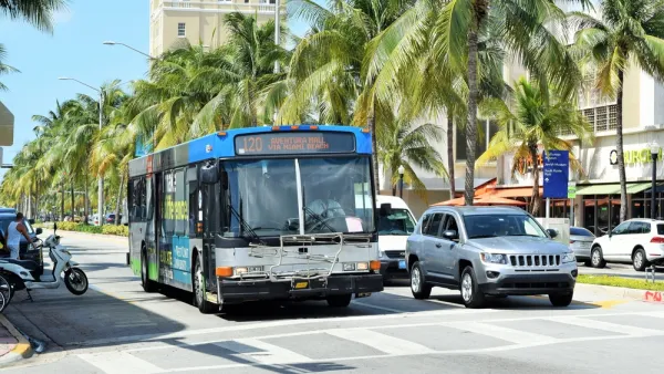
A new network of buses, designed with the bus priority features, has been proposed in Miami. The catch: it would come at the expense of a promised rail extension program.
Visualizing Transit Reliability (Or Not)
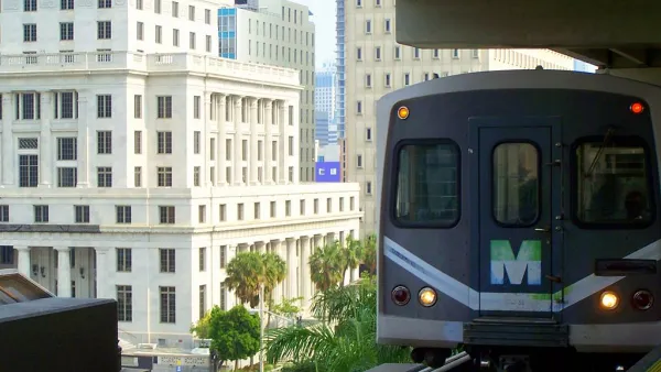
A new tool in Miami could use broader application in cities around the country (hint hint).

Planetizen Federal Action Tracker
A weekly monitor of how Trump’s orders and actions are impacting planners and planning in America.

Amtrak, CN end decades-long dispute with eight-year agreement
The new operating agreement establishes an updated framework for the companies to work together, including processes to resolve disputes.

Judges permit Denver to divert 77,000 acre feet from the Colorado River for reservoir expansion
Overuse and climate change have caused the Colorado River’s water levels to plummet.
NYC DOT wants faster, more permanent street upgrades
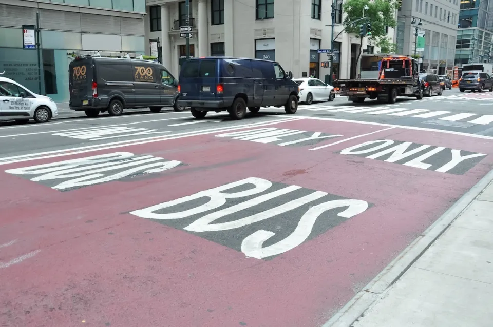
The city is examining ways to build more concrete infrastructure without getting entangled in 'decades-long' projects.

'Something we’ve never seen before:' rising utility rates could strain city finances nationwide
Data centers, climate change and other factors have caused utility rates in the United States to increase by 38% since 2020.

Trump to overrule local leaders, lease millions of acres of America’s Pacific Island territories’ seafloors to mining companies
International law says that the Indigenous people of America’s territories have a right to prior and informed consent regarding projects that impact their countries.

FREE Course: Walkable City 1: Why Walkability?
After describing his path towards focusing on walkability as the essence of good planning, Jeff Speck marches through his five principal reasons for making more walkable places.
Reinventing Malls: Planning Alchemy—Turning Gray Fields Into Gold
The course focuses on the opportunities and imperatives that shape reinvention of mall sites.

Harvard University Graduate School of Design
KFH Group Inc.
Greater Baltimore Committee
The Architects Foundation
University of Cincinnati Online
The Pocatello Development Authority
The Urban Renewal Agency of the City of Pocatello