


Growing set of tools measures the impact of urban form on climate. Hazel Borys reviews highlights of the CNU Climate Summit held last weekend near Washington, D.C.
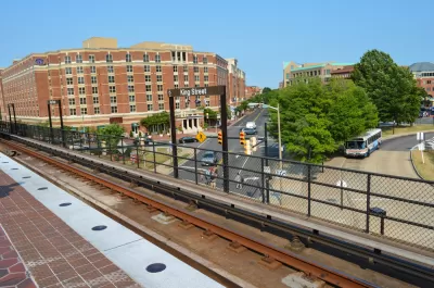
"A group of concerned urban designers, architects, ecologists, and economists gathered last week in Alexandria, Virginia, to discuss resilience at the CNU Climate Summit. Unable to join, I reached a few participants by phone and followed the Twitter hashtag, #CNUClimate, to hear highlights of the presentations and working groups. Several of their ideas resonate with the resilience thread here, and is another step in the process of answering some of the questions we often pose."
"The central idea of the gathering, in the words of Shelly Poticha: 'Urbanists need a lot more friends to make an impact. More cross-sector collaboration is key to climate resilience.' Susan Henderson agrees, 'The Summit was an intense conversation between groups that usually work independently. One outcome is a wiki of resources that spans many organizations and tools, where we can organically learn from one another, post the value of an improved physical environment, and provide the narrative for change.'"
Borys goes on to talk context, storytelling, tools for measuring impacts, equity and adaptation, and lean regulations. She wraps up with an epic #FridayFollow come early of climate changers.
FULL STORY: CNU Climate Summit Highlights

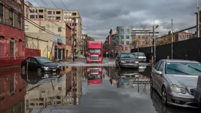
FEMA Resilience Program Cuts Grant Funding
The Building Resilient Infrastructure and Communities program funded projects from flood prevention to power station upgrades.
Report Outlines Strategies for Resilient Wildfire Recovery in LA
Project Recovery offers a roadmap for rebuilding more sustainable and climate-resilient communities after wildfires and other disasters.

Public Parks as Climate Resilience Tools
Designed with green infrastructure, parks can mitigate flooding, reduce urban heat, and enhance climate resilience, offering cost-effective solutions to environmental challenges while benefiting communities.

Planetizen Federal Action Tracker
A weekly monitor of how Trump’s orders and actions are impacting planners and planning in America.

Congressman Proposes Bill to Rename DC Metro “Trump Train”
The Make Autorail Great Again Act would withhold federal funding to the system until the Washington Metropolitan Area Transit Authority (WMATA), rebrands as the Washington Metropolitan Authority for Greater Access (WMAGA).

DARTSpace Platform Streamlines Dallas TOD Application Process
The Dallas transit agency hopes a shorter permitting timeline will boost transit-oriented development around rail stations.

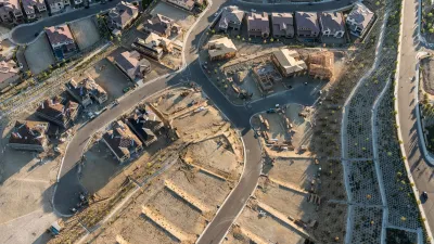
Renters Now Outnumber Homeowners in Over 200 US Suburbs
High housing costs in city centers and the new-found flexibility offered by remote work are pushing more renters to suburban areas.

The Tiny, Adorable $7,000 Car Turning Japan Onto EVs
The single seat Mibot charges from a regular plug as quickly as an iPad, and is about half the price of an average EV.

Supreme Court Ruling in Pipeline Case Guts Federal Environmental Law
The decision limits the scope of a federal law that mandates extensive environmental impact reviews of energy, infrastructure, and transportation projects.
Urban Design for Planners 1: Software Tools
This six-course series explores essential urban design concepts using open source software and equips planners with the tools they need to participate fully in the urban design process.
Planning for Universal Design
Learn the tools for implementing Universal Design in planning regulations.
Municipality of Princeton
Roanoke Valley-Alleghany Regional Commission
City of Mt Shasta
City of Camden Redevelopment Agency
City of Astoria
Transportation Research & Education Center (TREC) at Portland State University
US High Speed Rail Association
City of Camden Redevelopment Agency
Municipality of Princeton (NJ)