In New York state, municipalities can apply to use a new tool that gathers property data and sifts for red flags. The intent is to identify potential blight before it sets in.


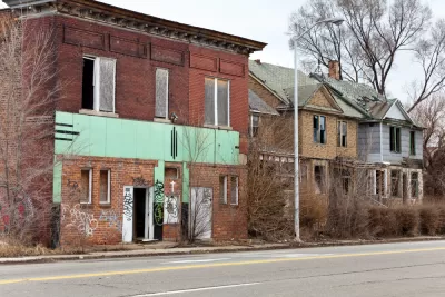
Oscar Perry Abello gives us an anecdote: two properties, one successfully rehabilitated and another left to the whim of absentee landlords and problem tenants. With new data tools like the one New York state is using, municipalities may be able to pinpoint these problem properties.
The issue is that in many cities, "the department of finance uses one filing system to track tax liens, the utilities providers use another, the building code enforcement uses another, the housing authority uses another, and the police department uses another."
A tool called BuildingBlocks, from Boston-based OpportunitySpace Inc, will "reconcile databases of all kinds, from Microsoft Excel spreadsheets to ancient IBM AS/400 database systems. Up to 40 municipalities with a minimum population of 25,000 will be part of the program, which is funded using settlement dollars recovered by the attorney general's office."
Abello mentions that the tool's ability to pinpoint specific properties could help municipalities concerned about unfairly targeting certain communities for code enforcement.
FULL STORY: New Big Data Tool Would Help N.Y. Cities With Blight


Harnessing Data for Community Development
Using data and insights encourages the development of a community, offering an evidence-based strategy to directly address the needs within.
Demolitions Can't Keep Pace With Vacancies in Baltimore
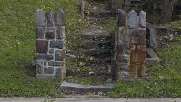
As the city of Baltimore grapples with a declining population, it faces obstinate challenges in controlling the problems associated with vacant buildings, including the "vicious cycle" of vacancies causing more vacancies.
Court Restores 'Doors and Windows' Code Enforcement Ordinance in Philadelphia
One of Philadelphia's most potent code enforcement tools is back in effect after the state Supreme Court overturned a previous ruling by a lower court.

Planetizen Federal Action Tracker
A weekly monitor of how Trump’s orders and actions are impacting planners and planning in America.

The state-sanctioned urbicide of Austin
People don’t kill cities. Freeways do.

US to reduce Colorado River water deliveries to Mexico
A new Colorado Treaty amendment reduces Mexico’s Colorado River water allocation by 250,000 acre feet.

5 New England states march closer to 800 megawatt wind energy project
Securing federal approval for the project may be complicated under the Trump administration, which has historically been hostile towards domestic wind power.

Baltimore to break ground on $50 million Transit Priority Project
The project will bring faster bus trips, safer streets and better bike connections to Baltimore.

Airbnb launches $250 million 'last-dollar financing' housing accelerator, makes first investment in Austin
The company will put $6.4 million towards affordable housing development in Texas’ capital.

FREE Course: Walkable City 1: Why Walkability?
After describing his path towards focusing on walkability as the essence of good planning, Jeff Speck marches through his five principal reasons for making more walkable places.
Reinventing Malls: Planning Alchemy—Turning Gray Fields Into Gold
The course focuses on the opportunities and imperatives that shape reinvention of mall sites.

Eagle County Government
Harvard University Graduate School of Design
Nashville Planning Department
The Architects Foundation
University of Cincinnati Online
The Pocatello Development Authority
The Urban Renewal Agency of the City of Pocatello
Journal of the American Planning Association