


Google Maps and other navigation and mapping apps have done a lot to inspire and educate people to make the most of their surroundings. New changes to the Google Maps app will add new functionality for those purposes.
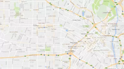
"Starting today we’re rolling out an update to Google Maps on Android that provides helpful everyday info––in real time––at the bottom of your home screen. Just swipe up and you’ll see three tabs that will help you find a nearby restaurant, beat traffic, or catch the next bus," according to a post by Mark Lowe, Google Maps product manager, on the Google blog.
More specifically, the tabs are called Places, Driving, and Transit. While the Places tabs provides new insight for people looking to explore the surrounding area, driving and transit will serve the more mundane moments of moving to and fro—especially during regular trips. Here's how Lowe describes the Transit tab:
With the transit tab, you’ll never have to sprint to the bus again. If you have your home and work addresses saved, you’ll see a recommendation for which bus or train to take, when the next one’s coming, and an ETA for when you’ll arrive at work or home. If you’re headed somewhere else, you can swipe down to find nearby transit stations along with real-time schedules.
In another recent Google Maps function update, Google introduced a new "parking difficulty icon" in Google Maps for Android that alerts users to parking crunches at their destination. That feature is available in 25 metropolitan areas in the United States.
FULL STORY: Get real-time commute info and more in one tap


New Google Map Layer Shows COVID-19 Infection Rates
A new layer showing the seven-day average of confirmed COVID-19 cases started rolling out to Android and iPhones last week.
Analyzing Lynch's City Imageability in the Digital Age
Mahbubur Meenar of Rowan University writes about a recent article he co-authored in the Journal of Planning Education and Research

Like Waze, But for Bikes
The mobile app LaneSpotter, described as a navigation app like Waze but for cyclists, has announced eight cities as the location for a pilot launch.

Maui's Vacation Rental Debate Turns Ugly
Verbal attacks, misinformation campaigns and fistfights plague a high-stakes debate to convert thousands of vacation rentals into long-term housing.

Planetizen Federal Action Tracker
A weekly monitor of how Trump’s orders and actions are impacting planners and planning in America.

In Urban Planning, AI Prompting Could be the New Design Thinking
Creativity has long been key to great urban design. What if we see AI as our new creative partner?

King County Supportive Housing Program Offers Hope for Unhoused Residents
The county is taking a ‘Housing First’ approach that prioritizes getting people into housing, then offering wraparound supportive services.

Researchers Use AI to Get Clearer Picture of US Housing
Analysts are using artificial intelligence to supercharge their research by allowing them to comb through data faster. Though these AI tools can be error prone, they save time and housing researchers are optimistic about the future.

Making Shared Micromobility More Inclusive
Cities and shared mobility system operators can do more to include people with disabilities in planning and operations, per a new report.
Urban Design for Planners 1: Software Tools
This six-course series explores essential urban design concepts using open source software and equips planners with the tools they need to participate fully in the urban design process.
Planning for Universal Design
Learn the tools for implementing Universal Design in planning regulations.
planning NEXT
Appalachian Highlands Housing Partners
Gallatin County Department of Planning & Community Development
Mpact (founded as Rail~Volution)
City of Camden Redevelopment Agency
City of Astoria
City of Portland
City of Laramie