


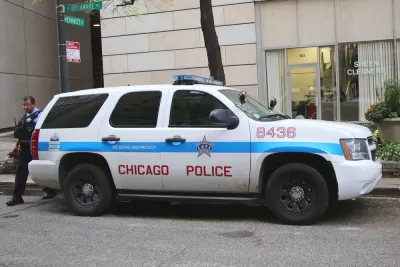
Chicago Department of Transportation Chief, Gabe Klein, suggests that crash hot spots should guide efforts to make streets safer.
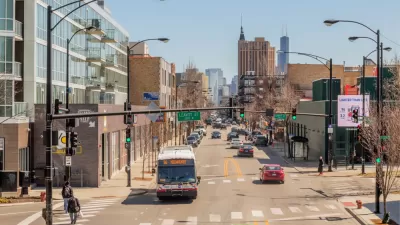
A recent report from the Chicago Police Department found that 113 people were killed in traffic crashes on the streets of Chicago in 2016. These crashes didn't just happen at random—there are places where crashes happen more frequently and those places don't tend to happen in the richest parts of the city. "A preliminary analysis by the Department of Public Health found that residents facing economic hardship suffer crash fatalities at a rate nearly twice as high as those who don't," John Greenfield writes in The Reader.
This would lead one to think there should be more traffic stops in these communities and, while that may be true, there are problems with that strategy. "These are largely the same lower-income south- and west-side neighborhoods where most shootings take place. But, as the [U.S. Department of Justice] report outlines, these communities are already plagued by police abuses, so there's the potential for an increase in traffic stops to make that problem worse," Greenfield writes.
Former Chicago Department of Transportation official, Gabe Klein, suggests using data on hot spots to create deterrents, to stop accidents before they happen. The National Highway Traffic Safety Administration and the U.S. Department of Justice drafted the "Data-Driven Approaches to Crime and Traffic Safety" report, which, "advises police departments to target these problem areas with highly visible traffic enforcement efforts, such as posting officers at intersections or installing red light or speed cams, to deter various types of crimes," Greenfield writes. Klein and Greenfield speculate that if the city had not faced scandals over its implementation of red light cameras, more of these strategies would have been implemented.
FULL STORY: Ex-CDOT chief: Focusing on crash hot spots could save lives, reduce profiling

Chicago Traffic Cameras Issue Most Tickets to Black and Latino Drivers
The city's controversial traffic camera program tickets Black and Latino motorists more than white drivers. Infrastructure may play a role in why.

Vehicle-related Deaths Drop 29% in Richmond, VA
The seventh year of the city's Vision Zero strategy also cut the number of people killed in alcohol-related crashes by half.

Chicago Judge Orders Thousands of Accessible Ped Signals
Only 3% of the city's crossing signals are currently accessible to blind pedestrians.

Maui's Vacation Rental Debate Turns Ugly
Verbal attacks, misinformation campaigns and fistfights plague a high-stakes debate to convert thousands of vacation rentals into long-term housing.

Planetizen Federal Action Tracker
A weekly monitor of how Trump’s orders and actions are impacting planners and planning in America.

In Urban Planning, AI Prompting Could be the New Design Thinking
Creativity has long been key to great urban design. What if we see AI as our new creative partner?

Florida Seniors Face Rising Homelessness Risk
High housing costs are pushing more seniors, many of them on a fixed income, into homelessness.

Massachusetts Budget Helps Close MBTA Budget Gap
The budget signed by Gov. Maura Healey includes $470 million in MBTA funding for the next fiscal year.

Milwaukee Launches Vision Zero Plan
Seven years after the city signed its Complete Streets Policy, the city is doubling down on its efforts to eliminate traffic deaths.
Urban Design for Planners 1: Software Tools
This six-course series explores essential urban design concepts using open source software and equips planners with the tools they need to participate fully in the urban design process.
Planning for Universal Design
Learn the tools for implementing Universal Design in planning regulations.
Gallatin County Department of Planning & Community Development
Heyer Gruel & Associates PA
JM Goldson LLC
City of Camden Redevelopment Agency
City of Astoria
Transportation Research & Education Center (TREC) at Portland State University
Jefferson Parish Government
Camden Redevelopment Agency
City of Claremont