


Technology startup Parkifi seeks to use the Internet of Things to address the long-lamented problem of congestion created by drivers seeking parking.

Drivers in Denver can now use a smartphone app to locate open parking spaces with an accuracy rate that reportedly exceeds 99 percent.
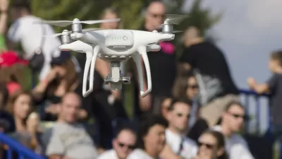
Using a combination of "way-finding, data analytics and Internet of Things technologies," Parkifi equips parking spots with sensors that automatically communicate with the app via Bluetooth and radio, the Denver Post reports.
When the app launches, users can see potential parking spots in red, green and yellow based on a “confidence score” to show drivers the likelihood of finding a spot. However, press the little ParkiFi icon, and the driver is immediately navigated to the best spot.
Parkifi is partnering with the city of Denver, where it is based, to equip off-street lots with sensors. In early 2017, more features will be added, including the option to pay for parking within the app.
The Post notes that Denver has also pursued other tech-based approaches to parking and congestion, and sees possibilities for growth in that space:
By combining IoT sensors that communicate with mobile apps, operators can also collect data on how long spots stay filled, the lot’s busiest hours and returning patrons. Parking managers can use that big data to market to or reward customers and use the technology to automatically reroute drivers or change prices based on demand.
FULL STORY: ParkiFi mashes IoT and data analytics to offer better sense of where to park downtown

Internet of Things Brings More Surveillance and Vulnerabilities to Cities
Too often, smart city technology is described as an innocuous tool, but Adam Greenfield argues the technology acquiring this data will be used to distribute city resources, an inherently political act.

The Go LA App Offers a One-Stop Shop for Transportation Choices
A public-private partnership between Xerox and the city of Los Angeles rolls out a new mobile trip-planning app to the public today. Now it's on the city's residents to use this new power wisely.
New App from the U.S. EPA Maps Environmental Justice
A publicly available web tool allows access to maps that overlay environmental impacts and the populations they impact (or the populations that manage to avoid such impacts, for that matter).

Planetizen Federal Action Tracker
A weekly monitor of how Trump’s orders and actions are impacting planners and planning in America.

Maui's Vacation Rental Debate Turns Ugly
Verbal attacks, misinformation campaigns and fistfights plague a high-stakes debate to convert thousands of vacation rentals into long-term housing.

San Francisco Suspends Traffic Calming Amidst Record Deaths
Citing “a challenging fiscal landscape,” the city will cease the program on the heels of 42 traffic deaths, including 24 pedestrians.

Trump Prompts Restructuring of Transportation Research Board in “Unprecedented Overreach”
The TRB has eliminated more than half of its committees including those focused on climate, equity, and cities.

Amtrak Rolls Out New Orleans to Alabama “Mardi Gras” Train
The new service will operate morning and evening departures between Mobile and New Orleans.

The Subversive Car-Free Guide to Trump's Great American Road Trip
Car-free ways to access Chicagoland’s best tourist attractions.
Urban Design for Planners 1: Software Tools
This six-course series explores essential urban design concepts using open source software and equips planners with the tools they need to participate fully in the urban design process.
Planning for Universal Design
Learn the tools for implementing Universal Design in planning regulations.
Heyer Gruel & Associates PA
JM Goldson LLC
Custer County Colorado
City of Camden Redevelopment Agency
City of Astoria
Transportation Research & Education Center (TREC) at Portland State University
Jefferson Parish Government
Camden Redevelopment Agency
City of Claremont