


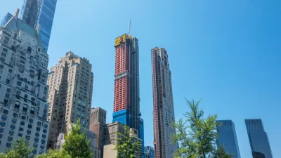
In a city looking to land use regulations for answers to an affordable housing crisis, one collection of community groups attempted to create a plan of their own.
Stephen Zacks reports on the grassroots planning effort behind the Plan for Chinatown and Surrounding Areas, led by the Pratt Center for Community Development’s Collective for Community, Culture, and the Environment, and completed in December 2013.
According to Zacks, "the plan recommends the creation of a special-purpose district for the historic core of Chinatown and its expanded area north of Canal Street. The district would use downzoning to C-4 with 85 height limits as one of the tools to preserve what makes Chinatown unique, to mitigate residential displacement, and to protect neighborhood small businesses from being priced out."
Collaborating with 53 member organizations, as the Chinatown Working Group, the plan required six years of "negotiating a comprehensive plan emphasizing preservation of affordability and neighborhood character," according to Zacks.
After all that work, however, the New York City Planning Commission rejected the plan's zoning recommendations "as 'too far-fetched and too ambitious,'" reports Zacks. The article sets the discussion of the Plan for Chinatown in the larger context of gentrification and displacement around the city as well as the land use policy discussion driven by the de Blasio administration’s Mandatory Inclusionary Housing and Zoning for Quality and Affordability (MIH-ZQA) initiative.
FULL STORY: Chinatown Revolt

Brooklyn Community Board Rejects Upzoning Proposal
The latest chapter in the ongoing supply vs. demand chronicles takes place in the Bedford-Stuyvesant neighborhood, where a community board came down firmly in opposition to new density in their neighborhood.
Explained: East New York's Big Zoning Changes
Some residents of East New York argue that mandatory inclusionary zoning and other changes proposed for the neighborhood will only help displace low-income residents.
The Inclusionary Zoning Debate
New York City's groundbreaking Mandatory Inclusionary Housing Program will turn five years old in March. While some call for the program to be eliminated, others defend it.

Planetizen Federal Action Tracker
A weekly monitor of how Trump’s orders and actions are impacting planners and planning in America.

Chicago’s Ghost Rails
Just beneath the surface of the modern city lie the remnants of its expansive early 20th-century streetcar system.

San Antonio and Austin are Fusing Into one Massive Megaregion
The region spanning the two central Texas cities is growing fast, posing challenges for local infrastructure and water supplies.

Since Zion's Shuttles Went Electric “The Smog is Gone”
Visitors to Zion National Park can enjoy the canyon via the nation’s first fully electric park shuttle system.

Trump Distributing DOT Safety Funds at 1/10 Rate of Biden
Funds for Safe Streets and other transportation safety and equity programs are being held up by administrative reviews and conflicts with the Trump administration’s priorities.

German Cities Subsidize Taxis for Women Amid Wave of Violence
Free or low-cost taxi rides can help women navigate cities more safely, but critics say the programs don't address the root causes of violence against women.
Urban Design for Planners 1: Software Tools
This six-course series explores essential urban design concepts using open source software and equips planners with the tools they need to participate fully in the urban design process.
Planning for Universal Design
Learn the tools for implementing Universal Design in planning regulations.
planning NEXT
Appalachian Highlands Housing Partners
Mpact (founded as Rail~Volution)
City of Camden Redevelopment Agency
City of Astoria
City of Portland
City of Laramie