


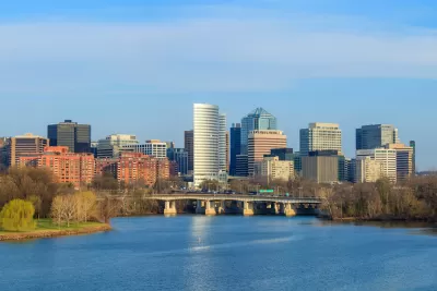
Newly released data from the Weldon Cooper Center's Demographics Research Group shows a state shifting in population growth northward—toward Washington D.C. and inner ring suburbs.
Hamilton Lombard reports on a reversal of long-standing trends in Virginia's population growth. "Population growth in Loudoun [County], as in much of Virginia during the two decades [of the 1990s and 2000s] was fueled by people moving out to newly built subdivisions on the edges of the commonwealth’s largest metro areas," writes Lombard. "Though Loudoun remains the fastest growing locality in the state, according to the 2015 population estimates released today by the Weldon Cooper Center’s Demographics Research Group, its growth has slowed considerably."
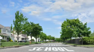
The article includes population heat maps for the state's counties as well as a series of Google Streeview screengrabs to show the development that has followed the state's growth in recent years.
The jist of the data reported by the article, however: growth is accelerating closer to Washington D.C., and slowing farther away from the District. In fact, "seven of the ten fastest growing localities in Virginia since 2010 have been urban localities, a noticeable change from previous decades when most of Virginia’s cities had stagnant or declining populations."
FULL STORY: Population Growth in Virginia Is Reversing Decades-Old Trend, Estimates Show


The 2010s Didn't Live Up to Potential as the 'Decade of the City'
The renaissance predicted for urban areas in the United States started strong during the 2010s but slowed in the years leading up to a potentially generation defining pandemic.
Pushing Back on 'Suburban Triumphalism'
Interested observers have been predicting a crest of the American "back to the city" movement for years now—the idea that as Millennials come of age they will lose interest in urban lifestyles and seek the comfort of the suburbs.
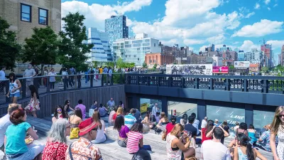
Richard Florida: 'The Urban Revival Is Over'
The author of the "The Rise of the Creative Class" and the "New Urban Crisis" says cities have had their moment.

Planetizen Federal Action Tracker
A weekly monitor of how Trump’s orders and actions are impacting planners and planning in America.

Maui's Vacation Rental Debate Turns Ugly
Verbal attacks, misinformation campaigns and fistfights plague a high-stakes debate to convert thousands of vacation rentals into long-term housing.

San Francisco Suspends Traffic Calming Amidst Record Deaths
Citing “a challenging fiscal landscape,” the city will cease the program on the heels of 42 traffic deaths, including 24 pedestrians.

Defunct Pittsburgh Power Plant to Become Residential Tower
A decommissioned steam heat plant will be redeveloped into almost 100 affordable housing units.

Trump Prompts Restructuring of Transportation Research Board in “Unprecedented Overreach”
The TRB has eliminated more than half of its committees including those focused on climate, equity, and cities.

Amtrak Rolls Out New Orleans to Alabama “Mardi Gras” Train
The new service will operate morning and evening departures between Mobile and New Orleans.
Urban Design for Planners 1: Software Tools
This six-course series explores essential urban design concepts using open source software and equips planners with the tools they need to participate fully in the urban design process.
Planning for Universal Design
Learn the tools for implementing Universal Design in planning regulations.
Heyer Gruel & Associates PA
JM Goldson LLC
Custer County Colorado
City of Camden Redevelopment Agency
City of Astoria
Transportation Research & Education Center (TREC) at Portland State University
Jefferson Parish Government
Camden Redevelopment Agency
City of Claremont