Most cities around the world can be broken down into 27 typical patterns of development, according to the work of a researcher at UC Davis.


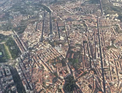
A close study of the street patterns in cities around the world has shown that most cities are comprised of a combination of 27 development categories—from the urban grid typical of downtown cores to superblocks, new urbanist neighborhoods and the "loops & lollipops" suburban style cul-de-sac development. Emily Badger reports in the The Washington Post’s Wonkblog on the work of University of California at Davis professor Stephen Wheeler, who combed over satellite imagery of multiple metropolitan areas around the world to produce striking maps showing the distribution of the varied development patterns.
What's interesting about these 27 categories that Wheeler has defined, covering the full range of development patterns in two dozen metropolitan regions he has studied worldwide, is that most of them are new. Relatively speaking.
"We have had an explosion of different types of built landscapes in the last century," says Wheeler, who is working on a book about these patterns.
Wheeler's work has shown that the most common type of development is primarily associated with suburbs and exurbs—the patterns of development commonly associated with the car. Wheeler believes his work will help people to understand the role that varied development patterns affect "how we travel, how much time we commute, whether we walk, how healthy we are as a result, how our communities affect the climate and how much pollution we generate."
Read the full story: The 27 patterns that make up the world’s cities and suburbs


Does Historic Preservation Really Define a “Successful” City?
One common argument against new housing is that a successful city is an historic city. The data says otherwise.
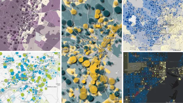
Explore US Demographics With the New ACS Atlas Collection
Esri's new ACS Atlas Collection offers interactive applications that visualize the latest U.S. demographic and socio-economic data, enabling users to explore over 175 curated web maps across various thematic areas.

Is the Urban Form Sustainable?
One author offers a framework for resilience that rethinks common assumptions about the inevitability of cities as we know them.

Planetizen Federal Action Tracker
A weekly monitor of how Trump’s orders and actions are impacting planners and planning in America.
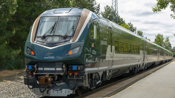
Northwest rail fans eager for Sept. 30 debut of Amtrak’s Airo fleet
Get ready for that new train smell and more seats. But they won’t go faster or run more frequently on the Cascades route in Washington and Oregon.

Trump is considering data centers on 6 states' public land — some state officials say they had no idea
If the administration approves the proposed projects, data center and data center-related developments will cover 17,600 acres of public land.

After decades of planning, Sacramento gains new light rail station
Trains will arrive every 15 minutes during peak hours and every 30 minutes during non-peak hours.

Massive tunnel-boring machine breaks ground on Gateway Project
The Trump administration revoked funding for the project in October 2025, and then restored it earlier this year.

Airo trainsets begin service on Amtrak Cascades route
The trains feature panoramic windows, complementary wifi and over 300 seats per train set.

FREE Course: Walkable City 1: Why Walkability?
After describing his path towards focusing on walkability as the essence of good planning, Jeff Speck marches through his five principal reasons for making more walkable places.
Reinventing Malls: Planning Alchemy—Turning Gray Fields Into Gold
The course focuses on the opportunities and imperatives that shape reinvention of mall sites.

City of Thousand Oaks
City of Wisconsin Rapids
Harvard University Graduate School of Design
The Architects Foundation
University of Cincinnati Online
Northern Illinois Transit Authority (NITA)
The Pocatello Development Authority
The Urban Renewal Agency of the City of Pocatello