


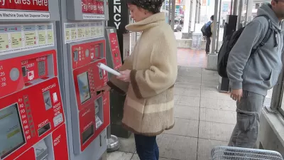
Stations on the Cleveland Regional Transit Authority's Red Line are hanging in the balance due to funding shortfalls on the $331 million "Opportunity Corridor" that would build a five-lane, 3.5-mile boulevard between University Circle and I-490.
"Bus and train stops on the $331 million Opportunity Corridor will be the links to existing neighborhoods, a way to make sure the [Opportunity Corridor] roadway does more than whisk commuters from Interstate 77 to University Circle," reports Alison Grant.
But the newly hired director of project development for the corridor, Marie Kittredge, said a top priority in her new job is "buttressing the case for hanging onto three threatened rapid stations along the route."
At-risk stations include the East 34th Street and East 79th Street stations. "It would cost $5 million to $8 million to make the improvements to the East 34th Street station, but perhaps three times as much -- $16 million to $18 million -- to modify the Red Line station."
The problem with those funding needs? "State and federal grants have steadily fallen and become more restrictive, while local sales tax revenues fluctuate with the economy. Annual ridership has been climbing from a recession-driven low in 2010. Yet RTA's 49.2 million passengers last year still amounted to a 15 percent drop from a demand peak of 57.9 million riders in 2008."
FULL STORY: Fate of Opportunity Corridor rapid transit stops in limbo


Editorial: Cleveland Made a Mess of Public Square Decision
Whether or not it was the right decision, the process leading to the decision to prohibit buses from Cleveland's renovated Public Square raises questions in Cleveland.

Chicago Transit Report Calls for Income-Based Fares, Paratransit Funding
An RTA report highlights a need for state funding to bridge an imminent $730 budget shortfall, calling for an approach that relies less heavily on fare revenue.
Cleveland Launches Bus System Redesign Process
An online survey has launched the process for redesigning the Regional Transit Authority's bus system in Cuyahoga County.

Maui's Vacation Rental Debate Turns Ugly
Verbal attacks, misinformation campaigns and fistfights plague a high-stakes debate to convert thousands of vacation rentals into long-term housing.

Planetizen Federal Action Tracker
A weekly monitor of how Trump’s orders and actions are impacting planners and planning in America.

In Urban Planning, AI Prompting Could be the New Design Thinking
Creativity has long been key to great urban design. What if we see AI as our new creative partner?

King County Supportive Housing Program Offers Hope for Unhoused Residents
The county is taking a ‘Housing First’ approach that prioritizes getting people into housing, then offering wraparound supportive services.

Researchers Use AI to Get Clearer Picture of US Housing
Analysts are using artificial intelligence to supercharge their research by allowing them to comb through data faster. Though these AI tools can be error prone, they save time and housing researchers are optimistic about the future.

Making Shared Micromobility More Inclusive
Cities and shared mobility system operators can do more to include people with disabilities in planning and operations, per a new report.
Urban Design for Planners 1: Software Tools
This six-course series explores essential urban design concepts using open source software and equips planners with the tools they need to participate fully in the urban design process.
Planning for Universal Design
Learn the tools for implementing Universal Design in planning regulations.
planning NEXT
Appalachian Highlands Housing Partners
Mpact (founded as Rail~Volution)
City of Camden Redevelopment Agency
City of Astoria
City of Portland
City of Laramie