


"Each region is closer to a particular airport than any other," explains the creator of what's called a spherical Voronoi diagram. The diagram illustrates just how far that airport is.
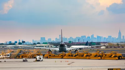
Max Ehrenfreund shares news of a map by Jason Davies that uses a Voronoi diagram to illustrate the “airport that is nearest to every point on the surface of the earth.”
Davies chose to represent large airports with scheduled services, expanding on an earlier, similar diagram for airports of all sizes just in the United States.
In case you’re wondering what the world’s most remote airport is, or where the world’s most remote location relative to any airport is, Davies’s own website directs you to the spot. In the case of the latter, it's in in Antarctica—5,147km from the nearest three airports
FULL STORY: A crazy-looking map that always shows you where the nearest airport is


Mapping the Land Uses of the United States
The McHarg Center's "The 2100 Project: An Atlas for the Green New Deal" provides a series of maps an infographics to illustrate the way the United States uses land.
Pop Quiz: Can You Identify Cities By Density Alone?
A Planetizen editor failed this quiz.

Mapping the LGBTQ-Friendliness of the World's Cities
A colorful data visualization tool maps information about which cities have the most protections for LGBTQ people in place. The tool is intended as a resource for LGBTQ travelers.

Planetizen Federal Action Tracker
A weekly monitor of how Trump’s orders and actions are impacting planners and planning in America.

Chicago’s Ghost Rails
Just beneath the surface of the modern city lie the remnants of its expansive early 20th-century streetcar system.

San Antonio and Austin are Fusing Into one Massive Megaregion
The region spanning the two central Texas cities is growing fast, posing challenges for local infrastructure and water supplies.

Since Zion's Shuttles Went Electric “The Smog is Gone”
Visitors to Zion National Park can enjoy the canyon via the nation’s first fully electric park shuttle system.

Trump Distributing DOT Safety Funds at 1/10 Rate of Biden
Funds for Safe Streets and other transportation safety and equity programs are being held up by administrative reviews and conflicts with the Trump administration’s priorities.

German Cities Subsidize Taxis for Women Amid Wave of Violence
Free or low-cost taxi rides can help women navigate cities more safely, but critics say the programs don't address the root causes of violence against women.
Urban Design for Planners 1: Software Tools
This six-course series explores essential urban design concepts using open source software and equips planners with the tools they need to participate fully in the urban design process.
Planning for Universal Design
Learn the tools for implementing Universal Design in planning regulations.
planning NEXT
Appalachian Highlands Housing Partners
Mpact (founded as Rail~Volution)
City of Camden Redevelopment Agency
City of Astoria
City of Portland
City of Laramie