


An interactive map featuring a combination of ESRI's Story Maps, Yelp, and TripAdvisor posts shows ten popular subway systems as rated by transit riders.
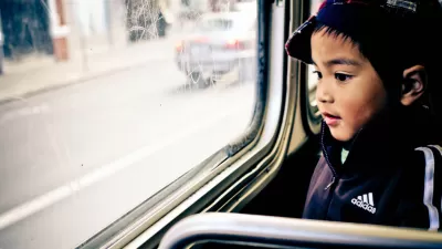
Max Knoblauch combines ESRI's Story Maps with Yelp and TripAdvisor reviews to create an interactive map of ten subways systems. The map shows the cost per ride and quotes reviews of the pros and cons of the transit system. Among Knoblauch's conclusions: "traveling communities cannot agree whether certain subways are the saving grace or utter downfall of their host city. The reviews serve as a reminder that everything has its ups and downs."
The ten subways systems rated worldwide include New York City's Subway, San Francisco's BART, and Stockholm's Tunnelbana, to name a few, with critics complaining about "rats the size of small dogs" or fans raving about "beautiful works of art."
FULL STORY: What the Internet Thinks of the World's Subways

N.Y.C. Initiative Seeks to Connect Homeless on Transit with Social Services
The city is expanding outreach to homeless people in order to move them off the subway and steer them toward housing and social services.
D.C.-Area Residents Want Bus Lanes and Free Transfers, Survey Shows
New survey findings identify transit priorities among residents in D.C. and surrounding areas, and indicate broad support for public investments.
When a Planner Commutes by Bus: Score Card
Commitment gets tested when a dedicated urbanist, transit rider, and L.A. County planner is relocate to a suburban office. Clement Lau shares his thoughts about the good and the bad of riding an L.A. Metro bus.

Planetizen Federal Action Tracker
A weekly monitor of how Trump’s orders and actions are impacting planners and planning in America.

Chicago’s Ghost Rails
Just beneath the surface of the modern city lie the remnants of its expansive early 20th-century streetcar system.

San Antonio and Austin are Fusing Into one Massive Megaregion
The region spanning the two central Texas cities is growing fast, posing challenges for local infrastructure and water supplies.

Since Zion's Shuttles Went Electric “The Smog is Gone”
Visitors to Zion National Park can enjoy the canyon via the nation’s first fully electric park shuttle system.

Trump Distributing DOT Safety Funds at 1/10 Rate of Biden
Funds for Safe Streets and other transportation safety and equity programs are being held up by administrative reviews and conflicts with the Trump administration’s priorities.

German Cities Subsidize Taxis for Women Amid Wave of Violence
Free or low-cost taxi rides can help women navigate cities more safely, but critics say the programs don't address the root causes of violence against women.
Urban Design for Planners 1: Software Tools
This six-course series explores essential urban design concepts using open source software and equips planners with the tools they need to participate fully in the urban design process.
Planning for Universal Design
Learn the tools for implementing Universal Design in planning regulations.
planning NEXT
Appalachian Highlands Housing Partners
Mpact (founded as Rail~Volution)
City of Camden Redevelopment Agency
City of Astoria
City of Portland
City of Laramie