


A side-by side-comparison of several cities’ snow routes reveals the inherent logic (or lack thereof) of their transportation infrastructure.
Emily Badger, inspired by a map of snow routes in Washington D.C., collected similar maps for a handful of cities around the country. Here’s what Badger found: “Compare these maps against each other, and they also reveal an underlying logic in how each city is organized, by grid (Chicago), by waterway (Philadelphia), or by relative chaos (we're looking at you, Louisville).”
The harsh nature of the current winter has provided plenty of perspective on transportation infrastructure. From sneckdowns to shutdowns—here's hoping communities are prepared to take the lessons of this winter and apply them to safer and more resilient infrastructures in the future.
FULL STORY: Cities, Mapped by Their Snow Routes

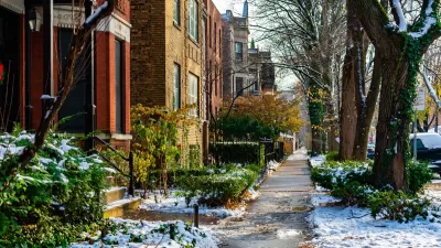
Chicago Budget Fails to Include Snow Plowing Program
Disability rights advocates say the “Plow the Sidewalks” program is a necessity for Chicagoans with limited mobility in winter months.
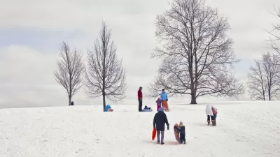
Winter Friday Fun: A Map of the Best Sledding Spots
There's a map of Boston that points out all the best sledding spots. It seems like there are millions of kids living in other parts around the country that could benefit from a sledding map of their hometown.

New Equipment and Staff for 'Non-Motorized Trail' Snow Removal Acquired in D.C.
A common wintertime compliant about snow removal for cars taking priority over bike lanes and sidewalks might be a little less common this winter.

Maui's Vacation Rental Debate Turns Ugly
Verbal attacks, misinformation campaigns and fistfights plague a high-stakes debate to convert thousands of vacation rentals into long-term housing.

Planetizen Federal Action Tracker
A weekly monitor of how Trump’s orders and actions are impacting planners and planning in America.

In Urban Planning, AI Prompting Could be the New Design Thinking
Creativity has long been key to great urban design. What if we see AI as our new creative partner?

Portland Raises Parking Fees to Pay for Street Maintenance
The city is struggling to bridge a massive budget gap at the Bureau of Transportation, which largely depleted its reserves during the Civd-19 pandemic.

Spokane Mayor Introduces Housing Reforms Package
Mayor Lisa Brown’s proposals include deferring or waiving some development fees to encourage more affordable housing development.

Houston Mayor Kills Another Bike Lane
The mayor rejected a proposed bike lane in the Montrose district in keeping with his pledge to maintain car lanes.
Urban Design for Planners 1: Software Tools
This six-course series explores essential urban design concepts using open source software and equips planners with the tools they need to participate fully in the urban design process.
Planning for Universal Design
Learn the tools for implementing Universal Design in planning regulations.
Gallatin County Department of Planning & Community Development
Heyer Gruel & Associates PA
JM Goldson LLC
City of Camden Redevelopment Agency
City of Astoria
Transportation Research & Education Center (TREC) at Portland State University
Jefferson Parish Government
Camden Redevelopment Agency
City of Claremont