The flood management story of Boulder, Colorado, includes a successful encounter with a 1,000-year rain event, and its lessons are less about concrete and dams than one might think.


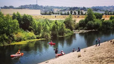
Will Doig writes a detailed long read about the disparate experiences of last fall’s flooding in Colorado, when tried and true flood plan maps proved inadequate to the scale of a 1,000-year rain event, but a more subtle approach to flood control proved successful.
Boulder escaped some of the brunt of the storm but also a lot of potential damage by “focusing not on large engineering solutions, but more on good land-use planning and stewardship.”
“The philosophy was clear: A light touch tends to be more effective than a heavy hand. For instance, in the bed of Boulder Creek, drop structures were created out of rocks where the elevation of the creek falls sharply — small waterfalls that concentrate the flow of the water inward to keep it from overflowing its banks. Similarly, placed at strategic points near the sides of the creek were jagged rocks called “rip rap” that disrupt the momentum of the flood. These mechanisms are still found in the creek today, many of them placed near bridges to try to tame the water where it might do the most structural damage.”
A lot of that philosophy comes from Boulder’s relationship with its waterway, according to David Driskell, Boulder’s executive director for community planning and sustainability: “We don’t do large trapezoidal concrete channels to try to protect life in a flood. We understand our creek is an amenity that people value the 99.9 percent of the time that it’s not flooding.”
Read the full story: You Can’t Stop Urban Flooding
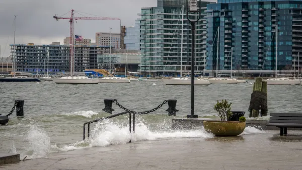
Boston releases draft $10B flood prevention plan
The joint effort with the U.S. Army Corps of Engineers outlines multiple strategies for protecting the city's most vulnerable neighborhoods from sea level rise.
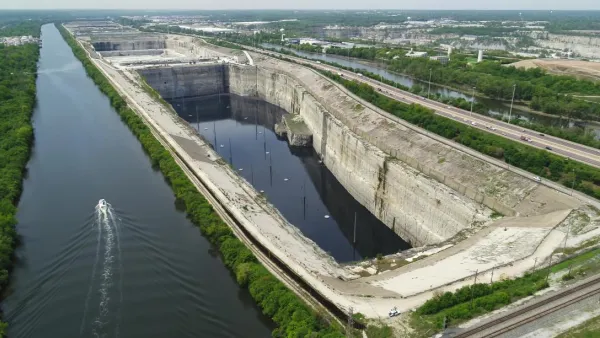
Chicago's underground flood control system is almost full
The system known as Deep Tunnel has never filled much more than halfway, but the cumulative effect of recent rains is putting suburban communities at risk of flooding.
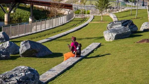
Atlanta Flood Prevention Efforts are Causing ‘Climate Gentrification’ in its Black Communities
New infrastructure in neighborhoods that have borne the brunt of seasonal floods is making them safer — and more expensive.

Planetizen Federal Action Tracker
A weekly monitor of how Trump’s orders and actions are impacting planners and planning in America.

Eastern Nebraska is running out of electricity
Data centers and electrification are straining eastern Nebraska’s grid, throttling economic development.
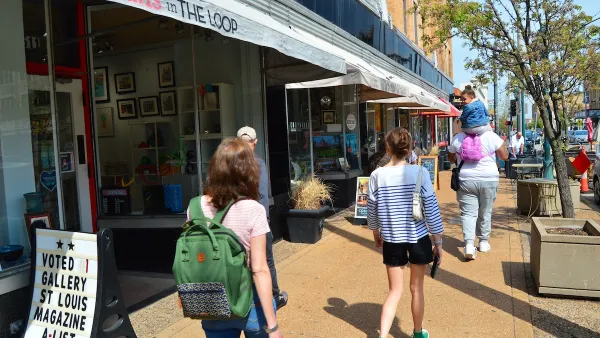
Move over, LA: St. Louis gears up for Olympics, invests millions in downtown redevelopment
The Missouri city will host the 2028 Olympic soccer group stage and knockout matches.

Dallas releases zoning code overhaul to officials
The drafted overhaul is over 400 pages long.

NYC renovations for dangerous, ‘mercilessly crammed’ street delayed until 2027
Construction was supposed to begin this fall.

San Diego’s Midway Rising project gets greenlight from city council
The project looks to become the largest affordable housing development in California's history.

FREE Course: Walkable City 1: Why Walkability?
After describing his path towards focusing on walkability as the essence of good planning, Jeff Speck marches through his five principal reasons for making more walkable places.
Reinventing Malls: Planning Alchemy—Turning Gray Fields Into Gold
The course focuses on the opportunities and imperatives that shape reinvention of mall sites.

City of Rosemead
Rutgers University, Edward J. Bloustein School of Planning and Public Policy
One Hundred Miles
University of Michigan School for Environment and Sustainability (SEAS)
Hunter College, City University of New York (CUNY)
The Architects Foundation
City of Cambridge
The Pocatello Development Authority
The Urban Renewal Agency of the City of Pocatello