A pair of recent stories explores the reemergence of California history, especially it’s gold rush history, as a result of falling water levels around the state.


A historically dry winter is robbing the west’s rivers and lakes of their normal, rejuvenating high winter and spring flows. As water levels drop lower and lower, land is revealed that reveals a prior era of California’s existence.
Richard Chang writes about how low river levels are revealing stretches of river bank that haven’t been mined in “decades, if not over a century.” The newly revealed river beds have sent many hobbyists down to the river to search for gold. So far, no one has struck it rich—except for the business owners selling mining equipment to gold-seeking prospectors.
Jim Carlton writes about the historic towns that have emerged from below shrinking reservoirs in states all over the West. In California, that means places built during the Gold Rush and later covered by the state’s water storage systems are seeing the light of day again for the first time in over 50 years. For instance, “man-made Folsom Lake has receded to less than one-fifth of its capacity amid bone-dry conditions in California, recently revealing outskirts of a ghost town called Mormon Island founded during the mid-19th century gold rush.” Like the prospectors scouring the state’s river beds for gold, the old re-emerged ghost towns have attracted their own scavengers: “On an unseasonably warm winter day recently, throngs of visitors descended on the cracked mud flats of the reservoir to inspect hand-forged nails, rusted hinges and other vestiges of frontier life that were inundated when the lake was created in 1955,” reports Carton.
The rediscovered places are not without their regulatory concerns: “One threat has come from treasure hunters wielding metal detectors, prompting the state agency to hurriedly adopt rules against their use.”
Read the full story: Drought Provides Window to Old West
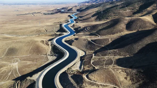
California Governor Outlines Plan for a ‘Hotter, Drier Future’
With California’s water supply expected to drop by 10 percent in the next two decades, Governor Newsom’s strategy calls for conservation and increased investment in water collection, storage, and desalination infrastructure.
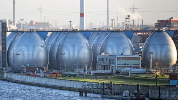
California Ballot Measure Could Streamline Permitting for Water Projects
A coalition of farmers and desalination supporters is collecting signatures for a California ballot measure that would fast-track construction processes for water storage projects.
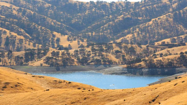
California Awards $2.7 Billion to Water Storage Facilities
The California Water Commission made an historic commitment to new water storage projects. Many of the largest projects planned in the state will require additional funding before construction can commence.

Planetizen Federal Action Tracker
A weekly monitor of how Trump’s orders and actions are impacting planners and planning in America.

California plans to bury El Niño’s downpour
If the state plays its cards right, it may be able to store a billion acre-feet of El Niño’s water in aquifers.

Desperate measures: Advocates weigh draining Lake Powell to fill Colorado River
Draining the reservoir could reduce evaporation losses by a couple hundred thousand acre-feet.

Mamdani’s pied-à-terre tax survives legal challenge
A panel of judges found that the plaintiffs failed to demonstrate injury as a result of New York City's implementation of the tax.

Eastern Nebraska is running out of electricity
Data centers and electrification are straining eastern Nebraska’s grid, throttling economic development.

Seattle passes record-breaking transit services expansion
Proposition 1 will double the city’s transit tax to add 95,000 more bus trips and preserve 180,000 bus trips annually.

FREE Course: Walkable City 1: Why Walkability?
After describing his path towards focusing on walkability as the essence of good planning, Jeff Speck marches through his five principal reasons for making more walkable places.
Reinventing Malls: Planning Alchemy—Turning Gray Fields Into Gold
The course focuses on the opportunities and imperatives that shape reinvention of mall sites.

City of Rosemead
Rutgers University, Edward J. Bloustein School of Planning and Public Policy
One Hundred Miles
University of Michigan School for Environment and Sustainability (SEAS)
Hunter College, City University of New York (CUNY)
The Architects Foundation
City of Cambridge
Montrose County
The Pocatello Development Authority