


If you were confused by recent census data that named four California metros, including Delano (pop 53,819), as the most dense in America, a new report that looks at "population-weighted density" may deliver more satisfying results.
Richard Florida parses the findings included in a new report [PDF] published by the U.S. Census Bureau that provides a more nuanced look at the densities of America's metros. The new data measures population-weighted density, the concentration of people within a metro, which Florida believes is "an important improvement on
the standard measure of density." While average density simply divides the total population of a city or metro area by its land area, population-weighted density can provide a more detailed picture of density at varying distances from a city's center by looking at the densities of separate census tracts.
"New York and Los Angeles are good examples of the differences between
these two density measures," says Florida. "While they are close in the average density -
2,826 for New York versus 2,646 for L.A. - the New York metro has much
higher levels of concentrated or population-weighted density, 31,251
versus 12,114 people per square mile. San Francisco, which has lower
average density than L.A. (1,755 people per square mile), tops L.A. on
population-weighted density with 12,145 people per square mile."
FULL STORY: America's Truly Densest Metros

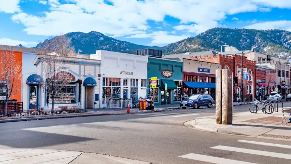
Boulder Eliminates Parking Minimums Citywide
Officials estimate the cost of building a single underground parking space at up to $100,000.

Orange County, Florida Adopts Largest US “Sprawl Repair” Code
The ‘Orange Code’ seeks to rectify decades of sprawl-inducing, car-oriented development.
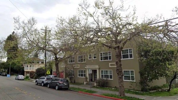
Berkeley Approves ‘Middle Housing’ Ordinance
The city that invented single-family zoning is finally reckoning with its history of exclusion.

Planetizen Federal Action Tracker
A weekly monitor of how Trump’s orders and actions are impacting planners and planning in America.

Maui's Vacation Rental Debate Turns Ugly
Verbal attacks, misinformation campaigns and fistfights plague a high-stakes debate to convert thousands of vacation rentals into long-term housing.

San Francisco Suspends Traffic Calming Amidst Record Deaths
Citing “a challenging fiscal landscape,” the city will cease the program on the heels of 42 traffic deaths, including 24 pedestrians.

Amtrak Rolls Out New Orleans to Alabama “Mardi Gras” Train
The new service will operate morning and evening departures between Mobile and New Orleans.

The Subversive Car-Free Guide to Trump's Great American Road Trip
Car-free ways to access Chicagoland’s best tourist attractions.

San Antonio and Austin are Fusing Into one Massive Megaregion
The region spanning the two central Texas cities is growing fast, posing challenges for local infrastructure and water supplies.
Urban Design for Planners 1: Software Tools
This six-course series explores essential urban design concepts using open source software and equips planners with the tools they need to participate fully in the urban design process.
Planning for Universal Design
Learn the tools for implementing Universal Design in planning regulations.
Heyer Gruel & Associates PA
JM Goldson LLC
Custer County Colorado
City of Camden Redevelopment Agency
City of Astoria
Transportation Research & Education Center (TREC) at Portland State University
Jefferson Parish Government
Camden Redevelopment Agency
City of Claremont