


In New York, neighborhood boundaries are big business. Just ask any real estate agent who's tried to pass off a Gowanus apartment as being in Park Slope. Since the city does not officially define boundaries, amateurs are filling the void.
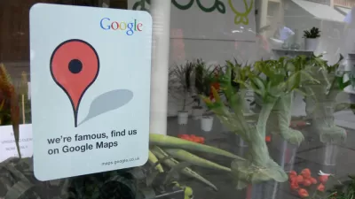
Michael Grynbaum profiles the amateur mapmakers that are utilizing "the democratizing force of the Internet "Their judgments are far-reaching: Google Maps, which provides user-generated outlines
for every city neighborhood, is consulted much more often than any Rand
McNally atlas."
"A result is a new class of unsung urban arbiters,
empowered to turn one's uber-hip NoHo apartment into just another East
Village walk-up, for all the world to see."
"Ask the professionals, though, and they will question the very notion of
a formal, down-to-the-intersection neighborhood grid, like the one
presented by Google," writes Grynbaum.
"Anyone who says there is a defined neighborhood is off his rocker,"
said Lisa Keller, executive editor of The Encyclopedia of New York City,
a meticulously researched tome of five-borough facts.
FULL STORY: Amateur Mapmakers Redraw Boundaries, Working Online

Meet Google's Open Source, Time-Traveling Map
All historic maps are welcome in Google's open source machine learning project.

Visualizing the Coronavirus Pandemic
Mapping of the crisis is producing a fascinating and important trove of cartographic records.

Real-Time Art Installation Reveals the Many Dimensions of Data
Using a wagon filled with phones, an artist in Berlin demonstrated the disconnect between data and the real world.

Maui's Vacation Rental Debate Turns Ugly
Verbal attacks, misinformation campaigns and fistfights plague a high-stakes debate to convert thousands of vacation rentals into long-term housing.

Planetizen Federal Action Tracker
A weekly monitor of how Trump’s orders and actions are impacting planners and planning in America.

San Francisco Suspends Traffic Calming Amidst Record Deaths
Citing “a challenging fiscal landscape,” the city will cease the program on the heels of 42 traffic deaths, including 24 pedestrians.

Defunct Pittsburgh Power Plant to Become Residential Tower
A decommissioned steam heat plant will be redeveloped into almost 100 affordable housing units.

Trump Prompts Restructuring of Transportation Research Board in “Unprecedented Overreach”
The TRB has eliminated more than half of its committees including those focused on climate, equity, and cities.

Amtrak Rolls Out New Orleans to Alabama “Mardi Gras” Train
The new service will operate morning and evening departures between Mobile and New Orleans.
Urban Design for Planners 1: Software Tools
This six-course series explores essential urban design concepts using open source software and equips planners with the tools they need to participate fully in the urban design process.
Planning for Universal Design
Learn the tools for implementing Universal Design in planning regulations.
Heyer Gruel & Associates PA
JM Goldson LLC
Custer County Colorado
City of Camden Redevelopment Agency
City of Astoria
Transportation Research & Education Center (TREC) at Portland State University
Jefferson Parish Government
Camden Redevelopment Agency
City of Claremont