On Wednesday, LA Metro started the process of soliciting proposals for the redevelopment of the 42 acres of land it owns around Union Station.


From article by Sam Lubell at ArchPaper.com:
"The area is LA's transportation hub, containing three subway lines as well as Amtrak and Metrolink stations and several bus lines. And it is set to augment that role in the future with the addition of METRO's Regional Connector and California High Speed Rail.
Specifics like building height limits as well as calls for mixed-use and transit oriented development, including commercial, retail, entertainment, housing, and eventually a new High Speed Rail terminal, will be dictated to some extent by the existing Alameda District Specific Plan, which was passed in 1996. The agency's goals for the project, according to a document it posted on its site today, include accommodating future transit needs, creating "an iconic place of extraordinary design," improving connectivity to the city around the station, and maximizing the value of METRO's investment in the project."
"The Vision Plan that METRO is requiring short listed teams to produce for the area will be an "unconstrained" and "imaginative vision of Union Station" consisting of visual perspectives and site plans that will be presented publicly. The goal, said Calvin Hollis, Executive Officer of Countywide Planning & Development at METRO, is to create some excitement about the property and get the community excited. The Vision Plans will hold no weight in the selection of a winning team."
A number of architects, planners, and engineers are calling the vision plans a "waste of time" because they will not be used to determine the winner of the future project.
Read the full story: Downtown Dreams
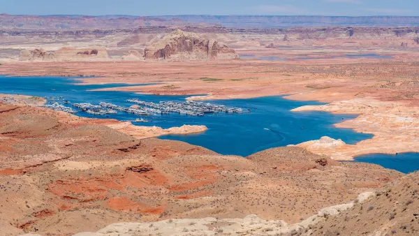
Desperate measures: Advocates weigh draining Lake Powell to fill Colorado River
Draining the reservoir could reduce evaporation losses by a couple hundred thousand acre-feet.

Eastern Nebraska is running out of electricity
Data centers and electrification are straining eastern Nebraska’s grid, throttling economic development.
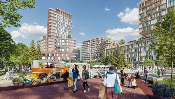
Malls are becoming the midtowns of the future
Mall and office park redevelopments are a generational opportunity to create new nodes of urbanity.

NYC breaks ground on anti-flooding infrastructure project
New York City's new system will reduce stormwater flows to local sewers by 90%.

One Kentucky town’s secret to affordable housing
The Smoketown Community Land Trust has already built seven affordable homes for community members.

Houston gains petal-shaped cooling infrastructure to make streets more ‘delightful’
The city has installed the pavilions along 15 blocks in Houston.

FREE Course: Walkable City 1: Why Walkability?
After describing his path towards focusing on walkability as the essence of good planning, Jeff Speck marches through his five principal reasons for making more walkable places.
Reinventing Malls: Planning Alchemy—Turning Gray Fields Into Gold
The course focuses on the opportunities and imperatives that shape reinvention of mall sites.

City of Rosemead
Rutgers University, Edward J. Bloustein School of Planning and Public Policy
One Hundred Miles
University of Michigan School for Environment and Sustainability (SEAS)
Hunter College, City University of New York (CUNY)
The Architects Foundation
City of Cambridge
Montrose County
The Pocatello Development Authority