


Roger Valdez looks back at the history of highways, and the switch from local control to state and federal control due to the burden of financing and maintaining roads.
Valdez says the lack of local control of highway construction results in bad land use decisions.
"So the need to accommodate cars led to greater dependence on gas tax revenue, and with the dependence on gas tax revenue came more control over design by state and federal governments. And from a design perspective that meant a need for speed and capacity."
FULL STORY: End of the Road

Freedom to Move: Investing in Transportation Choices for a Clean, Prosperous, and Just Future
This Union of Concerned Scientists study examines why and how to improve resource-efficient travel options to achieve diverse goals. It estimates that more efficient transport could save up to $201 billion in energy and $128 billion in health costs.
Report: Some Rural States Ahead of More Urbanized Ones in Reducing Transportation Emissions
This is a largely unintended consequence of states with lower populations and resources focusing on repairing existing roads and infrastructure rather than expanding and building new roads.
New York State DOT Invests Heavily in Highways Over Transit
So far, the department has allocated 90 percent of its federal transportation funding to road projects and less than 1 percent to transit.

Planetizen Federal Action Tracker
A weekly monitor of how Trump’s orders and actions are impacting planners and planning in America.

Maui's Vacation Rental Debate Turns Ugly
Verbal attacks, misinformation campaigns and fistfights plague a high-stakes debate to convert thousands of vacation rentals into long-term housing.

San Francisco Suspends Traffic Calming Amidst Record Deaths
Citing “a challenging fiscal landscape,” the city will cease the program on the heels of 42 traffic deaths, including 24 pedestrians.

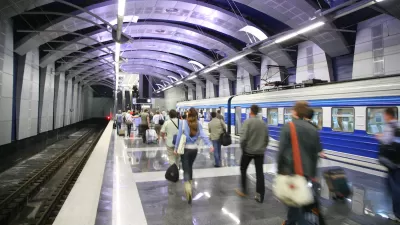
Amtrak Rolls Out New Orleans to Alabama “Mardi Gras” Train
The new service will operate morning and evening departures between Mobile and New Orleans.

The Subversive Car-Free Guide to Trump's Great American Road Trip
Car-free ways to access Chicagoland’s best tourist attractions.

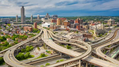
San Antonio and Austin are Fusing Into one Massive Megaregion
The region spanning the two central Texas cities is growing fast, posing challenges for local infrastructure and water supplies.
Urban Design for Planners 1: Software Tools
This six-course series explores essential urban design concepts using open source software and equips planners with the tools they need to participate fully in the urban design process.
Planning for Universal Design
Learn the tools for implementing Universal Design in planning regulations.
Heyer Gruel & Associates PA
JM Goldson LLC
Custer County Colorado
City of Camden Redevelopment Agency
City of Astoria
Transportation Research & Education Center (TREC) at Portland State University
Jefferson Parish Government
Camden Redevelopment Agency
City of Claremont