


San Francisco and other cities have historically given developers the incentive to build taller for providing a proportional amount of public space. This article looks at what has worked as well as how it has backfired.
"Architecturally, I have issues with San Francisco's newest plaza. The rectangle at 555 Mission St. in the Financial District is a bit too poised, too stiff, happier to be photographed than put to use.
But when I'm reminded of how far we've come, the quibbles give way to appreciative relief - and a renewed appreciation of farsighted planning.
That long-range view kicked in last week when I tagged along on a downtown walking tour focused not on office towers but on the low-down spaces those towers have spawned. Where, ideally, you'd want to eat lunch or kick back."
"But the brisk stroll through nearly two dozen corporate clearings also took us down Market Street, past the decidedly mixed spaces created in the 1960s and '70s, when developers were allowed to add height to their towers in return for creating open space at the base, and there were no rules as to what those spaces should provide passers-by in the way of amenities."
FULL STORY: Office towers trade sky space for public plazas


San Francisco Opens Park on Former Great Highway
The Sunset Dunes park’s grand opening attracted both fans and detractors.
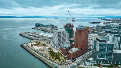
San Francisco Development Centers Pedestrians, Public Space
The Mission Rock project eliminates street parking, replacing it with public seating and landscaping.
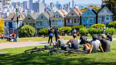
Predictions for San Francisco’s Public Spaces
In 2023, will the city’s public spaces be reclaimed by cars, or will pandemic-era interventions lead to permanent change?

Maui's Vacation Rental Debate Turns Ugly
Verbal attacks, misinformation campaigns and fistfights plague a high-stakes debate to convert thousands of vacation rentals into long-term housing.

Planetizen Federal Action Tracker
A weekly monitor of how Trump’s orders and actions are impacting planners and planning in America.

In Urban Planning, AI Prompting Could be the New Design Thinking
Creativity has long been key to great urban design. What if we see AI as our new creative partner?

King County Supportive Housing Program Offers Hope for Unhoused Residents
The county is taking a ‘Housing First’ approach that prioritizes getting people into housing, then offering wraparound supportive services.

Researchers Use AI to Get Clearer Picture of US Housing
Analysts are using artificial intelligence to supercharge their research by allowing them to comb through data faster. Though these AI tools can be error prone, they save time and housing researchers are optimistic about the future.

Making Shared Micromobility More Inclusive
Cities and shared mobility system operators can do more to include people with disabilities in planning and operations, per a new report.
Urban Design for Planners 1: Software Tools
This six-course series explores essential urban design concepts using open source software and equips planners with the tools they need to participate fully in the urban design process.
Planning for Universal Design
Learn the tools for implementing Universal Design in planning regulations.
planning NEXT
Appalachian Highlands Housing Partners
Mpact (founded as Rail~Volution)
City of Camden Redevelopment Agency
City of Astoria
City of Portland
City of Laramie