


Charles Platt uses CIA Factbook data on populations to create a visual representation of how much land there is per person in different nations.
"To what extent do we feel overcrowded, as a species? I'm not talking about resources; just psychological factors.
"To create this chart I turned to the CIA Factbook, where I looked up the populations of various nations and then divided this number into their land area (excluding lakes and rivers) to get the number of square feet available per person. I represented the results in squares that are all drawn to the same scale.
"Of course if you are in Australia, where each resident has almost 4 million square feet to play with, you won't make full use of your land ration, if only because most of it is desert. On the other hand, when I was in Australia I did feel intuitively aware that the country was, so to speak, empty. As soon as I drove out of an urban area, the emptiness was right there. Conversely, in Hong Kong, where citizens have barely more than 1,600 square feet each, everyone is intensely aware of being crammed into a very crowded place."
Thanks to George Osner, AICP
FULL STORY: Charts: 3


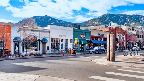
Opinion: What San Francisco’s Proposed ‘Family Zoning’ Could Really Mean
Mayor Lurie is using ‘family zoning’ to encourage denser development and upzoning — but could the concept actually foster community and more human-scale public spaces?
Boulder Eliminates Parking Minimums Citywide
Officials estimate the cost of building a single underground parking space at up to $100,000.

Orange County, Florida Adopts Largest US “Sprawl Repair” Code
The ‘Orange Code’ seeks to rectify decades of sprawl-inducing, car-oriented development.

Planetizen Federal Action Tracker
A weekly monitor of how Trump’s orders and actions are impacting planners and planning in America.

Chicago’s Ghost Rails
Just beneath the surface of the modern city lie the remnants of its expansive early 20th-century streetcar system.

San Antonio and Austin are Fusing Into one Massive Megaregion
The region spanning the two central Texas cities is growing fast, posing challenges for local infrastructure and water supplies.

Since Zion's Shuttles Went Electric “The Smog is Gone”
Visitors to Zion National Park can enjoy the canyon via the nation’s first fully electric park shuttle system.

Trump Distributing DOT Safety Funds at 1/10 Rate of Biden
Funds for Safe Streets and other transportation safety and equity programs are being held up by administrative reviews and conflicts with the Trump administration’s priorities.

German Cities Subsidize Taxis for Women Amid Wave of Violence
Free or low-cost taxi rides can help women navigate cities more safely, but critics say the programs don't address the root causes of violence against women.
Urban Design for Planners 1: Software Tools
This six-course series explores essential urban design concepts using open source software and equips planners with the tools they need to participate fully in the urban design process.
Planning for Universal Design
Learn the tools for implementing Universal Design in planning regulations.
planning NEXT
Appalachian Highlands Housing Partners
Mpact (founded as Rail~Volution)
City of Camden Redevelopment Agency
City of Astoria
City of Portland
City of Laramie