


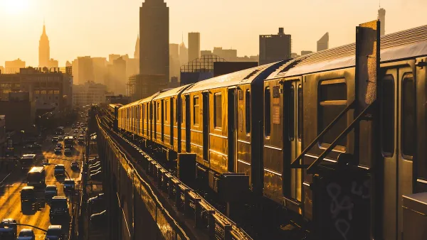
In a trial run starting in December, monitors in one New York City subway station will display the exact location of every train on the line, giving riders a more accurate idea about how long they'll have to wait for the next train.
"Beginning in December, officials will install a computer screen at each end of the platform showing a graphic representation of the entire L line and the location of every train on it. Waiting passengers can watch the trains move along the tracks as the data is updated every 15 seconds. That way, passengers can see for themselves if there really is another train 'right behind this one.'"
"If the system works, and riders like it, it could be installed in other stations on the L line, said Greg Lombardi, the line's general manager, who helped create the system. Ultimately it could be used on other lines as well."
"Mr. Lombardi said the system might also be able to point straphangers to the least crowded cars on a train, using information from onboard sensors that monitor the weight of each car."
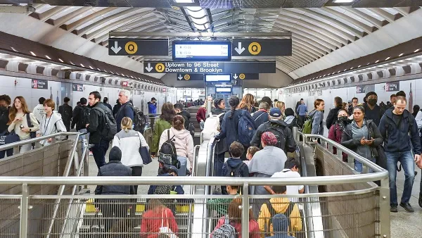
"The screens at the Myrtle-Wyckoff station will complement a system that has been in place on the L line for more than a year, using electronic signs and announcements to tell passengers approximately how many minutes they will have to wait for the next train to arrive."
Thanks to Streetsblog
FULL STORY: Maybe There Is Another Train Right Behind

Aging NYC Subway Cars No Match for Extreme Heat
The MTA receives thousands of complaints about broken air conditioning on subway cars each summer.
New York MTA to Reimagine Subway Bottleneck
Changes proposed in a recently approved five-year plan would resolve a nearly century-old snarl that routinely delays trains.
New York Subway Reaches One Billion Ride Milestone
The system’s 2024 performance is on track for its fastest growth since the pandemic.

Maui's Vacation Rental Debate Turns Ugly
Verbal attacks, misinformation campaigns and fistfights plague a high-stakes debate to convert thousands of vacation rentals into long-term housing.

Planetizen Federal Action Tracker
A weekly monitor of how Trump’s orders and actions are impacting planners and planning in America.

In Urban Planning, AI Prompting Could be the New Design Thinking
Creativity has long been key to great urban design. What if we see AI as our new creative partner?

King County Supportive Housing Program Offers Hope for Unhoused Residents
The county is taking a ‘Housing First’ approach that prioritizes getting people into housing, then offering wraparound supportive services.

Researchers Use AI to Get Clearer Picture of US Housing
Analysts are using artificial intelligence to supercharge their research by allowing them to comb through data faster. Though these AI tools can be error prone, they save time and housing researchers are optimistic about the future.

Making Shared Micromobility More Inclusive
Cities and shared mobility system operators can do more to include people with disabilities in planning and operations, per a new report.
Urban Design for Planners 1: Software Tools
This six-course series explores essential urban design concepts using open source software and equips planners with the tools they need to participate fully in the urban design process.
Planning for Universal Design
Learn the tools for implementing Universal Design in planning regulations.
planning NEXT
Appalachian Highlands Housing Partners
Mpact (founded as Rail~Volution)
City of Camden Redevelopment Agency
City of Astoria
City of Portland
City of Laramie