New York City has been expanding its stock of bicycle lanes throughout town, but as many cyclists are finding, the lanes that are supposed to be dedicated to bikes only are often overtaken by parked cars.


On streets clogged by pollution-emitting cars, buses and trucks, New York City's quest to establish reasonably safe cycling paths by adding to its roughly 300 miles of bicycle lanes has been welcomed by cyclists. But the lanes are often battlegrounds between cyclists and drivers who seem undeterred by the clearly demarcated paths.
Although city regulations forbid cars from blocking bike lanes - a violation that carries a $115 fine - those rules are routinely ignored by drivers who use the lanes as parking spots, loading zones and places to pick up passengers. Such maneuvers have enraged cyclists who say they are unlawful, rude and dangerous.
Some bicyclists have resorted to inventive means to discourage the incursions. On a recent weeknight, nine men and women rode their bikes through the West Village on an outing - unsanctioned by the city - intended to make the lanes more prominent.
At a bike lane on Hudson Street near Christopher Street, one rider placed a cardboard stencil on the pavement, and others covered it with white spray paint. When they lifted the stencil an image of an automobile bisected by a diagonal line was left behind.
Read the full story: Bike Lanes, Intended for Safety, Become Traffic Battlegrounds

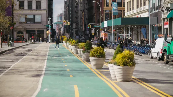
Leading Micromobility Trends for 2024: From Urban Streets to Regional Implementation
The proliferation of micromobility as a viable transportation mode offers the opportunity for cities to reimagine how they allocate public space.
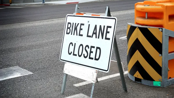
Los Angeles Is Quietly Losing Bike Lanes
While adding new bike lanes can be a long and contentious process, removing them in favor of parking requires no public process.
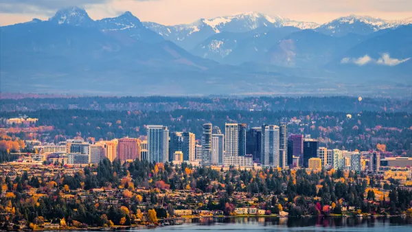
Bellevue Issues Curb Management Plan
The plan reorients the city’s priorities from vehicle throughput and parking to transit, bike infrastructure, and other public amenities.

Planetizen Federal Action Tracker
A weekly monitor of how Trump’s orders and actions are impacting planners and planning in America.

The state-sanctioned urbicide of Austin
People don’t kill cities. Freeways do.

US to reduce Colorado River water deliveries to Mexico
A new Colorado Treaty amendment reduces Mexico’s Colorado River water allocation by 250,000 acre feet.

Nation's most wind-powered state turns to coal as data centers increase energy demand
For the first time in decades, Iowa has increased its generation of coal power.

NYC cools commuters with city's first rain garden above a bus stop
New York City officials say the plants in the rain garden can absorb 16 gallons of rainwater during heavy storms.

Brightline West’s future may rely on $6 billion federal loan
The company has until Nov. 2 to make a $400 million equity investment into its proposed high-speed rail line.

FREE Course: Walkable City 1: Why Walkability?
After describing his path towards focusing on walkability as the essence of good planning, Jeff Speck marches through his five principal reasons for making more walkable places.
Reinventing Malls: Planning Alchemy—Turning Gray Fields Into Gold
The course focuses on the opportunities and imperatives that shape reinvention of mall sites.

Greater Baltimore Committee
Eagle County Government
Harvard University Graduate School of Design
The Architects Foundation
University of Cincinnati Online
The Pocatello Development Authority
The Urban Renewal Agency of the City of Pocatello
Journal of the American Planning Association