


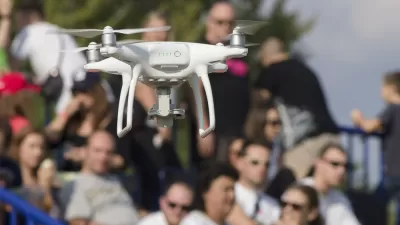
Miami may be the first American city to have its police force adopt Unmanned Aerial Vehicles (UAVs) to aid police in fighting crime, a development civil liberties groups are finding disconcerting.
"Miami police could soon be the first in the United States to use cutting-edge, spy-in-the-sky technology to beef up their fight against crime.
A small pilotless drone manufactured by Honeywell International, capable of hovering and "staring" using electro-optic or infrared sensors, is expected to make its debut soon in the skies over the Florida Everglades.
If use of the drone wins Federal Aviation Administration approval after tests, the Miami-Dade Police Department will start flying the 14-pound (6.3 kg) drone over urban areas with an eye toward full-fledged employment in crime fighting.
Miami-Dade police are not alone, however. Taking their lead from the U.S. military, which has used drones in Iraq and Afghanistan for years, law enforcement agencies across the country have voiced a growing interest in using drones for domestic crime-fighting missions. Known in the aerospace industry as UAVs, for unmanned aerial vehicles, drones have been under development for decades in the United States.
Citing numerous safety concerns, the FAA -- the government agency responsible for regulating civil aviation -- has been slow in developing procedures for the use of UAVs by police departments.
Some privacy advocates, however, say rules and ordinances need to be drafted to protect civil liberties during surveillance operations.
'There's been controversies all around about putting up surveillance cameras in public areas,' said Howard Simon, Florida director of the American Civil Liberties Union. 'Technological developments can be used by law enforcement in a way that enhances public safety,' he said. 'But every enhanced technology also contains a threat of further erosion of privacy.'"
FULL STORY: Spy-in-the-sky drone sets sights on Miami

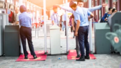
Airport-Style Body Scanners Coming to L.A.'s Rail System
The Los Angeles County Metropolitan Transportation Authority will be it the first in the country to deploy body scanners on its rail system.
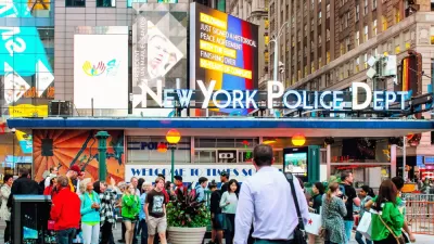
Beacon / Bunker
Kris Graves photographs all 77 NYPD precincts from Tottenville to Edenwald, looking to these buildings—sometimes humble, sometimes imposing—for the face and footprint of law and order in the neighborhood.
Internet of Things Brings More Surveillance and Vulnerabilities to Cities
Too often, smart city technology is described as an innocuous tool, but Adam Greenfield argues the technology acquiring this data will be used to distribute city resources, an inherently political act.

Maui's Vacation Rental Debate Turns Ugly
Verbal attacks, misinformation campaigns and fistfights plague a high-stakes debate to convert thousands of vacation rentals into long-term housing.

Planetizen Federal Action Tracker
A weekly monitor of how Trump’s orders and actions are impacting planners and planning in America.

In Urban Planning, AI Prompting Could be the New Design Thinking
Creativity has long been key to great urban design. What if we see AI as our new creative partner?

King County Supportive Housing Program Offers Hope for Unhoused Residents
The county is taking a ‘Housing First’ approach that prioritizes getting people into housing, then offering wraparound supportive services.

Researchers Use AI to Get Clearer Picture of US Housing
Analysts are using artificial intelligence to supercharge their research by allowing them to comb through data faster. Though these AI tools can be error prone, they save time and housing researchers are optimistic about the future.

Making Shared Micromobility More Inclusive
Cities and shared mobility system operators can do more to include people with disabilities in planning and operations, per a new report.
Urban Design for Planners 1: Software Tools
This six-course series explores essential urban design concepts using open source software and equips planners with the tools they need to participate fully in the urban design process.
Planning for Universal Design
Learn the tools for implementing Universal Design in planning regulations.
planning NEXT
Appalachian Highlands Housing Partners
Mpact (founded as Rail~Volution)
City of Camden Redevelopment Agency
City of Astoria
City of Portland
City of Laramie