A new urban design center in St. Paul, Minnesota, allows residents to try their hand at city planning in hopes of educating the public about managing growth and development.


"On St. Paul's University Avenue, you can order Cambodian noodles, buy a secondhand mannequin and replace the muffler on your old Buick.
And starting today, you can create your own streetscape.
A do-it-yourself urban design center offering equipment, software and technical expertise to the public will open today at 1956 W. University Ave.
The storefront office, called U-Plan Community Planning Studio, is a land-use wonk's dream, but it is already generating some grass-roots interest.
With big-box retailers sniffing around and a light-rail line on the horizon for University Avenue, supporters say it gives the little guy a new weapon in the ongoing battle to reshape the Central Corridor.
In the center's sparse storefront office, interested groups can equip themselves with GIS mapping software, design tools and mega-size printers designed to help them create their own development blueprints along the avenue."
Read the full story: Land-use planning for the masses


Planetizen Federal Action Tracker
A weekly monitor of how Trump’s orders and actions are impacting planners and planning in America.
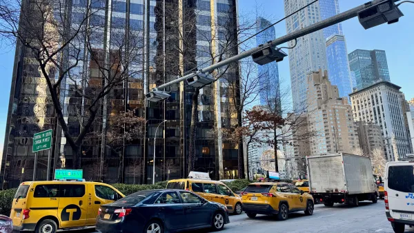
Data reveals that NYC’s bet on congestion pricing has paid off
After almost two years of the program, reports show positive impacts on traffic and air quality and no disruptions to parking.
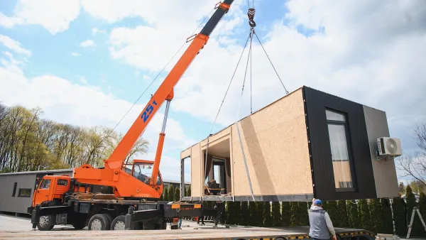
HUD modernizes 50-year-old manufactured housing framework
The Next Generation Manufactured Housing Action Plan establishes new energy-efficiency standards for manufactured homes, and new guidelines for anchoring them.

New Mexico spent millions drafting climate goals. Data centers are unraveling them
Three data centers in New Mexico and El Paso will release more emissions yearly than 2 million cars in the same timeframe.

This Ohio town is using AI to speed up transit analysis
The Greater Dayton Regional Transit Authority’s new AI tool correctly determined riders’ preferred ways to reach key commuter routes.

Yet again, Seattle’s density zoning update is hit with delays
The city must now examine the ‘maximum possible development’ under a future zoning scenario, rather than the ‘maximum likely development.’

FREE Course: Walkable City 1: Why Walkability?
After describing his path towards focusing on walkability as the essence of good planning, Jeff Speck marches through his five principal reasons for making more walkable places.
Reinventing Malls: Planning Alchemy—Turning Gray Fields Into Gold
The course focuses on the opportunities and imperatives that shape reinvention of mall sites.

One Hundred Miles
County of Mendocino
planning NEXT
The Architects Foundation
University of Cincinnati Online
Montrose County
Northern Illinois Transit Authority (NITA)
The Pocatello Development Authority