


As growth continues farther and farther from traditional urban cores, defining a sense of place among the myriad "exopoli" becomes increasingly difficult.
"In one sense, it is easy to explain where Gail and Brent Heppner live. Their new house is off Exit 110 of Interstate 95, a solid 70 miles south of the District, beyond so many subdivisions and fast-food clusters, past the giant, circular sign heralding Potomac Mills mall, then farms with billboards for $9.99 truck-stop rib-eyes, and then an additional 30 minutes past gray-green blurs of second-growth pine. They live all the way down in Caroline County, recently named one of the fastest-growing counties in the country.
In another sense, though, the Heppners' place in the geography of suburbia, of exurbia, of the Washington region -- and really, of the nation -- is more difficult to pinpoint."
"Although once-rural Loudoun County has for years been the icon of rapid growth, and Spotsylvania County considered the southernmost edge of sprawl, suddenly the edge seems to have jumped 30 miles or so south and east into Caroline and King George counties, which popped up right behind Loudoun on the latest top 10 list of fast-growing counties. Both are closer to Richmond than to the District.
Over the years, such areas have been called exurbs and disurbs, edge counties and edgeless cities, exopoli, outtowns, penturbias, rururbias, slurbs and, curiously, net of mixed beads. Still other terms grasp at their relation to neighboring areas: archipelago economy, global network of nodes and hubs, planetary urban networks."
FULL STORY: On Edge of Va. Sprawl, Labels Crumble, New Lives Thrive


Planetizen Federal Action Tracker
A weekly monitor of how Trump’s orders and actions are impacting planners and planning in America.

Vehicle-related Deaths Drop 29% in Richmond, VA
The seventh year of the city's Vision Zero strategy also cut the number of people killed in alcohol-related crashes by half.
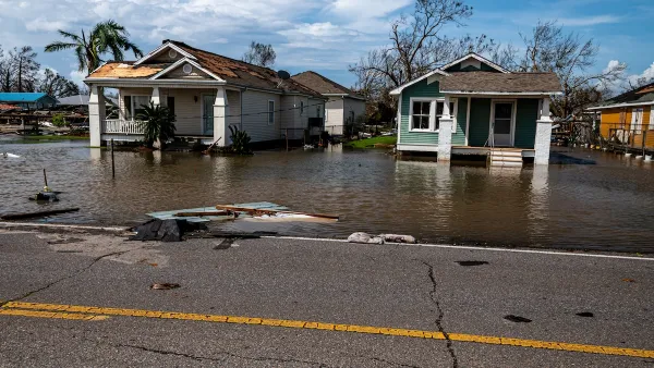
As Trump Phases Out FEMA, Is It Time to Flee the Floodplains?
With less federal funding available for disaster relief efforts, the need to relocate at-risk communities is more urgent than ever.

Texas Safety Advocates Raise Alarm in Advance of Tesla Robotaxi Launch
The company plans to deploy self-driving taxis in Austin with no oversight from state or local transportation agencies.

How to Fund SF’s Muni Without Cutting Service
Three solutions for bridging the San Francisco transit agency’s budget gap without reducing service for transit-dependent riders.

Austin Tests Self-Driving Bus
Autonomous buses could improve bus yard operations for electric fleets, according to CapMetro.
Urban Design for Planners 1: Software Tools
This six-course series explores essential urban design concepts using open source software and equips planners with the tools they need to participate fully in the urban design process.
Planning for Universal Design
Learn the tools for implementing Universal Design in planning regulations.
Borough of Carlisle
Smith Gee Studio
City of Camden Redevelopment Agency
City of Astoria
Transportation Research & Education Center (TREC) at Portland State University
City of Camden Redevelopment Agency
Municipality of Princeton (NJ)