The public has until April 23 to comment on the sweeping plan that addresses land use, transportation, and infrastructure.


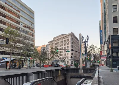
Oakland has released a draft of the second phase of its General Plan update, a Land Use Framework that will guide the city’s development over the next two decades.
According to an article in The Oaklandside by Jose Fermoso, “The General Plan, once completed by the end of 2027, will be the first of its kind in the city since 1998. Already, several parts of phase one were adopted by the City Council, including the Downtown Specific Plan, which provided policy planning blueprints for infrastructure, jobs, and housing in parts of Downtown, Jack London Square, and Lake Merritt.”
The second phase focuses on transportation, land use, and infrastructure. It includes recommendations for boosting transit use, walking, and biking, as well as suggestions for traffic calming infrastructure and improved sidewalks.
FULL STORY: Planning the physical future of Oakland

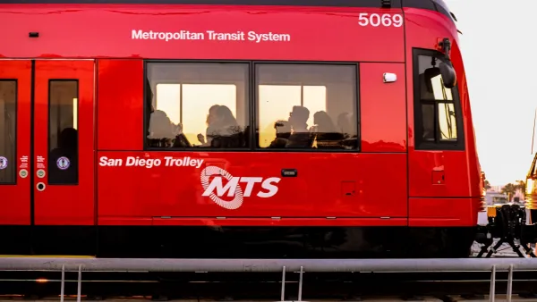
San Diego Regional Transportation Plan Shifts Away From Big Projects to Focus on Improving Existing Infrastructure
SANDAG’s 2025 Regional Plan scales down plans for new rail lines in favor of expanding rapid bus service.
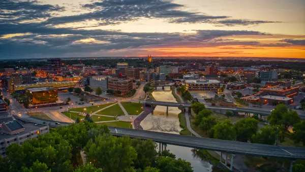
Sioux Falls Multi-Family Development Outpaces Transportation Improvements
Sioux Falls, South Dakota is undergoing a multi-family development boom. Residents are increasingly concerned about the traffic the development brings, according to local news reports.
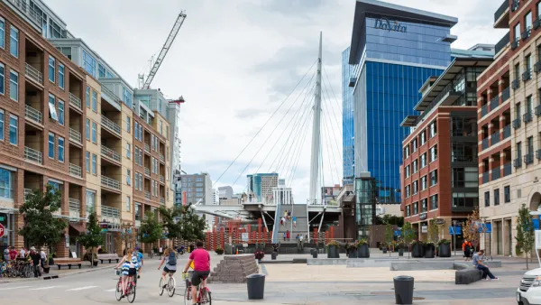
Colorado Could Reject Highway Expansion in Favor of Climate-Friendly Planning
A proposed transportation strategy could shift the state’s focus away from driving and toward incentivizing public transit use, walking, and biking.

Planetizen Federal Action Tracker
A weekly monitor of how Trump’s orders and actions are impacting planners and planning in America.

The state-sanctioned urbicide of Austin
People don’t kill cities. Freeways do.

US to reduce Colorado River water deliveries to Mexico
A new Colorado Treaty amendment reduces Mexico’s Colorado River water allocation by 250,000 acre feet.

5 New England states march closer to 800 megawatt wind energy project
Securing federal approval for the project may be complicated under the Trump administration, which has historically been hostile towards domestic wind power.

Baltimore to break ground on $50 million Transit Priority Project
The project will bring faster bus trips, safer streets and better bike connections to Baltimore.

Airbnb launches $250 million 'last-dollar financing' housing accelerator, makes first investment in Austin
The company will put $6.4 million towards affordable housing development in Texas’ capital.

FREE Course: Walkable City 1: Why Walkability?
After describing his path towards focusing on walkability as the essence of good planning, Jeff Speck marches through his five principal reasons for making more walkable places.
Reinventing Malls: Planning Alchemy—Turning Gray Fields Into Gold
The course focuses on the opportunities and imperatives that shape reinvention of mall sites.


Eagle County Government
Harvard University Graduate School of Design
Nashville Planning Department
The Architects Foundation
University of Cincinnati Online
The Pocatello Development Authority
The Urban Renewal Agency of the City of Pocatello
Journal of the American Planning Association