


Scientists in Florida are using GIS technology to strategically manage prescribed burns, aiding in the restoration and biodiversity of longleaf pine ecosystems while enhancing climate resilience across the Southeast.

Longleaf pine ecosystems, once stretching across 90 million acres in the southeastern U.S., have dwindled to just three percent of their original size. These ecosystems are vital for biodiversity, housing over 600 species, including 29 that are endangered or threatened. As reported by Anthony Schultz and Sunny Fleming, scientists at Tall Timbers in Florida are using Geographic Information Systems (GIS) to manage longleaf pine restoration. By combining detailed environmental data with fire management practices, researchers are learning how prescribed burns help maintain the health and regeneration of these forests. Tall Timbers has been at the forefront of fire ecology for over 60 years, employing prescribed fire to manage ecosystems and enhance biodiversity.
At the core of the restoration is the Southeast FireMap, an innovative tool that integrates data from satellite imagery and artificial intelligence to track fire history and impacts across longleaf pine communities. By mapping areas that have burned, researchers can better understand the effects of fire on tree regeneration and overall ecosystem health. This approach, driven by data and field observations, allows land managers to strategically plan prescribed burns that mimic the natural fire cycles necessary for longleaf pine ecosystems to thrive. The digital twin technology also aids in tracking wildlife impacts and supports decision-making in managing these habitats.
In addition to restoring forests, Tall Timbers' efforts extend to public education and training, as they host the National Interagency Prescribed Fire Training Center. This center educates land managers from across the country on how to safely use fire to benefit ecosystems while minimizing risks like smoke pollution. Through collaborations and the use of cutting-edge GIS technology, Tall Timbers is advancing the preservation of longleaf pine forests, increasing biodiversity, and building climate resilience across the Southeast.
FULL STORY: Tech Meets Ecology: Environmental Digital Twin Enhances Longleaf Pine Restoration


Fighting Forest Pests With AI: A Hemlock Success Story
Fairfax County utilized GeoAI and ArcGIS technology to efficiently map and protect its hemlock trees from the invasive woolly adelgid, ensuring targeted pest management and preservation of its evergreen canopy.

Oak Survival in the Great Lakes: Adapting to a Changing World
Climate change is endangering oaks in the Great Lakes region by increasing their vulnerability to pests, diseases, and extreme weather, threatening their vital ecological role.
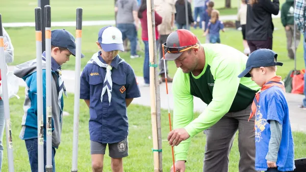
Lakewood Celebrates Arbor Day and Strengthens Urban Forestry Legacy
Lakewood celebrated Arbor Day and its 43rd year as a Tree City USA community with a youth-led tree planting event at O’Kane Park, reinforcing its long-standing commitment to urban forestry and environmental education.

Montreal Mall to Become 6,000 Housing Units
Place Versailles will be transformed into a mixed-use complex over the next 25 years.

Planetizen Federal Action Tracker
A weekly monitor of how Trump’s orders and actions are impacting planners and planning in America.

DARTSpace Platform Streamlines Dallas TOD Application Process
The Dallas transit agency hopes a shorter permitting timeline will boost transit-oriented development around rail stations.

Interactive Map Reveals America's “Shade Deserts”
Launched by UCLA and American Forests to combat heat-related deaths, the tool maps the shade infrastructure for over 360 U.S. cities.

Bicycles and Books — In Sacramento, Libraries Now Offer Both
Adult library card holders can check out e-bikes and e-trikes for up to one week.

Colorado Landfills Emit as Much Pollution as 1M Cars
Landfills are the third-largest source of methane pollution in Colorado, after agriculture and fossil fuel extraction.
Urban Design for Planners 1: Software Tools
This six-course series explores essential urban design concepts using open source software and equips planners with the tools they need to participate fully in the urban design process.
Planning for Universal Design
Learn the tools for implementing Universal Design in planning regulations.
City of Mt Shasta
City of Camden Redevelopment Agency
City of Astoria
Transportation Research & Education Center (TREC) at Portland State University
US High Speed Rail Association
City of Camden Redevelopment Agency
Municipality of Princeton (NJ)