The online map builds a comprehensive database of fire prevention and mitigation efforts at every level of government to help agencies coordinate their work and understand the impacts of projects.


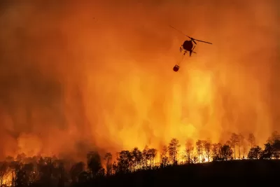
A new online dashboard from the state of California tracks wildfire prevention and mitigation work. According to a press release from Governor Gavin Newsom’s office, “For the first time, all fuels management projects are being tracked in one place, on one map, delivering valuable information for project planning and wildfire response.”
The Interagency Treatment Dashboard offers a comprehensive view of wildfire resilience efforts at multiple levels of government, while the Fuel Treatment Effectiveness Dashboard tracks how treatments have impacted fire behavior and firefighting and evacuation efforts. “In 2023, 700,000 acres were treated to help protect against wildfires, with many protected acres receiving multiple treatments such as thinning, prescribed fire, or other practices to improve forest health and community resilience.” This is a major increase from 2021 due in part to a doubling of prescribed treatments.
The dashboards are part of a broader fire resilience strategy that includes increased investments in wildfire resilience, higher staffing levels for firefighting units, an expansion of the state’s aerial firefighting fleet, and technological tools such as drones and AI that can help limit the destruction of fires and save lives.
Read the full story: California’s new, cutting-edge dashboards map the progress of wildfire resilience work that protects communities

UCLA Experts Offer Critical Support for LA Wildfire Response and Recovery
The UCLA Luskin Center for Innovation offers expert guidance on LA wildfire response and recovery, addressing critical issues like water safety, air quality, equitable rebuilding, and climate adaptation to promote resilience and sustainability.
Wildfires Explode Across the West
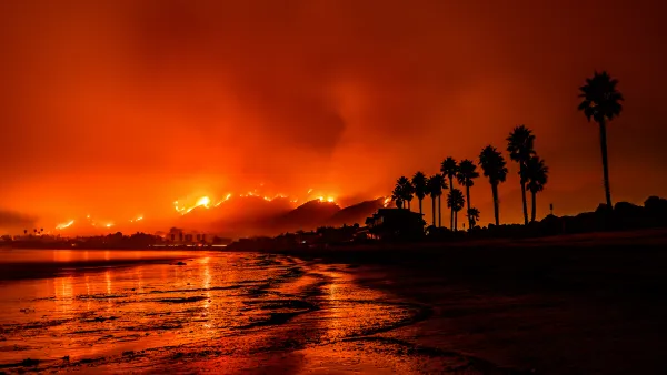
Multiple massive fires are burning across the Western United States and Canada, prompting governments to explore new mitigation and response strategies.

California Using AI to Get Ahead of Wildfires
The state is pioneering the use of technology to identify wildfire risks and alert firefighters before blazes get out of control.

Planetizen Federal Action Tracker
A weekly monitor of how Trump’s orders and actions are impacting planners and planning in America.

California plans to bury El Niño’s downpour
If the state plays its cards right, it may be able to store a billion acre-feet of El Niño’s water in aquifers.

Desperate measures: Advocates weigh draining Lake Powell to fill Colorado River
Draining the reservoir could reduce evaporation losses by a couple hundred thousand acre-feet.

US buildings threatened, destroyed by fires set to triple by 2060
Researchers found a high fire risk for socioeconomically vulnerable neighborhoods in the American West.

LA residents may be allowed to paint their own crosswalks
Councilwoman Katy Yaroslavsky put out a motion instructing the Los Angeles Department of Public Transportation to study the feasibility of allowing volunteers to paint crosswalks.

Dallas moves to overhaul its zoning code
The city's zoning reform will allow more multi-family and mixed-use developments.

FREE Course: Walkable City 1: Why Walkability?
After describing his path towards focusing on walkability as the essence of good planning, Jeff Speck marches through his five principal reasons for making more walkable places.
Reinventing Malls: Planning Alchemy—Turning Gray Fields Into Gold
The course focuses on the opportunities and imperatives that shape reinvention of mall sites.

City of Rosemead
Rutgers University, Edward J. Bloustein School of Planning and Public Policy
One Hundred Miles
Hunter College, City University of New York (CUNY)
The Architects Foundation
University of Cincinnati Online
City of Cambridge
Montrose County
The Pocatello Development Authority