


The BioBlitz Challenge invites participants to document local wildlife throughout October using the iNaturalist app, contributing to conservation efforts and scientific research on Los Angeles' biodiversity.
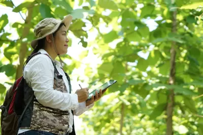
The LA BioBlitz Challenge is a month-long event held in October, encouraging participants to document the diverse wildlife across Los Angeles using the iNaturalist app. Residents are invited to explore local parks, neighborhoods, and natural spaces to photograph and map various species of plants and animals. The initiative, organized by the Los Angeles Public Library and other local partners, aims to raise awareness about LA's urban biodiversity and contribute valuable data to conservation efforts.
By participating in the BioBlitz, individuals can assist scientists in understanding the distribution of species, including those in areas that have been under-researched. The challenge is accessible to all skill levels, with participants simply needing to download the iNaturalist app, take photographs of wildlife, and upload their observations. This data will become part of a global database used by researchers, helping to foster better environmental stewardship in the city.
Prizes are awarded to participants who complete at least ten observations, with special focus on submissions from under-represented neighborhoods. The challenge not only helps improve knowledge of LA’s natural environment but also engages the community in protecting the city’s ecosystems. The LA BioBlitz is part of a larger movement promoting biodiversity through community science; it is a fun and impactful way to contribute to environmental conservation.
FULL STORY: LA BioBlitz Challenge

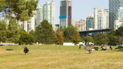
Study: How Urban Parks Can Support Biodiversity
Conservation and recreation can go hand in hand in urban green spaces designed to serve both humans and local wildlife.
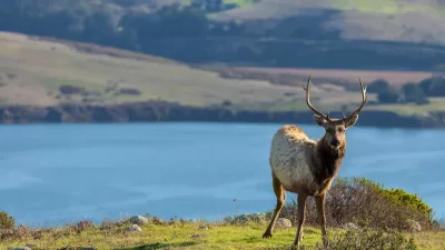
Celebrating California's Biodiversity
This year marks the fifth annual California Biodiversity Day, established in 2018 to celebrate and encourage actions to protect the state’s exceptional biodiversity.
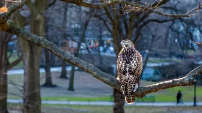
Explore Urban Biodiversity: Join the 2025 City Nature Challenge
The City Nature Challenge invites people worldwide to document urban biodiversity by photographing and sharing wild plants and animals through the iNaturalist app, helping scientists track and understand real-time changes in ecosystems.

Montreal Mall to Become 6,000 Housing Units
Place Versailles will be transformed into a mixed-use complex over the next 25 years.

Planetizen Federal Action Tracker
A weekly monitor of how Trump’s orders and actions are impacting planners and planning in America.

DARTSpace Platform Streamlines Dallas TOD Application Process
The Dallas transit agency hopes a shorter permitting timeline will boost transit-oriented development around rail stations.

Interactive Map Reveals America's “Shade Deserts”
Launched by UCLA and American Forests to combat heat-related deaths, the tool maps the shade infrastructure for over 360 U.S. cities.

Bicycles and Books — In Sacramento, Libraries Now Offer Both
Adult library card holders can check out e-bikes and e-trikes for up to one week.

Colorado Landfills Emit as Much Pollution as 1M Cars
Landfills are the third-largest source of methane pollution in Colorado, after agriculture and fossil fuel extraction.
Urban Design for Planners 1: Software Tools
This six-course series explores essential urban design concepts using open source software and equips planners with the tools they need to participate fully in the urban design process.
Planning for Universal Design
Learn the tools for implementing Universal Design in planning regulations.
City of Mt Shasta
City of Camden Redevelopment Agency
City of Astoria
Transportation Research & Education Center (TREC) at Portland State University
US High Speed Rail Association
City of Camden Redevelopment Agency
Municipality of Princeton (NJ)