A new global platform will help the world identify and encourage opportunities for more proximity in the built environment—development patterns that can help reduce sources of greenhouse gas emissions and other forms of pollution if built well.



A new platform, the Global Observatory of Sustainable Proximities, was launched during the Second United Nations Habitat Assembly earlier this week. The platform “will serve as a go-to knowledge and capacity building platform collecting information about local initiatives while supporting and promoting urban proximities at a global scale,” according to a press release announcing the launch.
“Together, the Observatory partners will develop a globally applicable concept based on proximity, official measures and indicators, a global centre for knowledge sharing and capacity building, and a global network to support cities in implementation,” explains the press release.
In the ensuing days since the press release was published, the East Coast of the United States was smothered by wildfire smoke drifting down from ongoing wildfires to the north in Canada, sending a palpable signal of the terrible damages of climate change to a heavily populated and relatively wealthy region. The development proximity sought by the new platform has been repeatedly shown to reduce causes of greenhouse gas emissions, and the United Nations has repeatedly called on the United States to transform its land use and transportation practices to help slow rising greenhouse gas emissions around the world. More proximity in development patterns would also prevent sprawl on the wildland-urban interface, which introduces various environmental risks and provides fuel for wildfires.
The platform was launched by four founding partners: the Entrepreneurship, Technology and Innovation Chair of the IAE Paris Sorbonne Business School (Chaire ETI), C40 Cities, United Cities and Local Governments (UCLG) and the United Nations Human Settlements Programme (UN-Habitat).
Read the full story: Global platform launched to support ‘proximity’ in urban planning

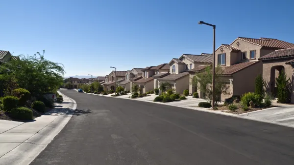
On the Essential Role of Land Use in the Fight Against Climate Change
The country cannot hope to achieve its goals for the reduction of greenhouse gas emissions without fundamentally rethinking its land use and development patterns, according to this article.
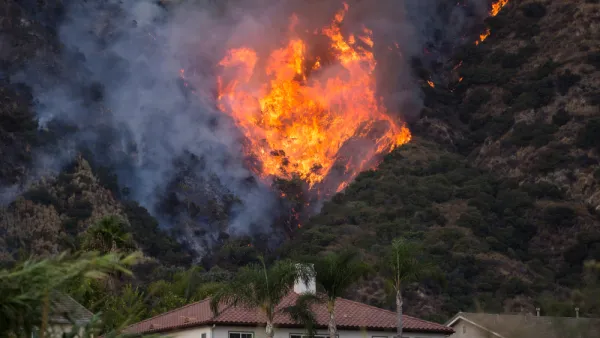
Can Insurance Woes Finally End Sprawl?
Environmental risks are becoming too much for the home insurance industry to bear. Could this be the first signs of the collapse and reversal of sprawling land use patterns?
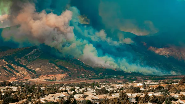
Home Insurers Are Fleeing California
Homeowners in the state are finding it increasingly difficult to secure insurance policies thanks to the growing risks of wildfire, drought, and other climate threats.

Planetizen Federal Action Tracker
A weekly monitor of how Trump’s orders and actions are impacting planners and planning in America.
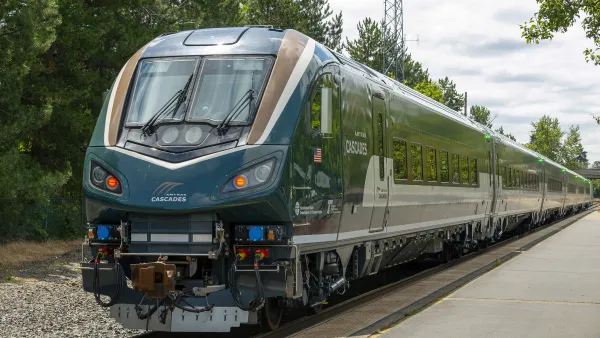
Northwest rail fans eager for Sept. 30 debut of Amtrak’s Airo fleet
Get ready for that new train smell and more seats. But they won’t go faster or run more frequently on the Cascades route in Washington and Oregon.

Trump is considering data centers on 6 states' public land — some state officials say they had no idea
If the administration approves the proposed projects, data center and data center-related developments will cover 17,600 acres of public land.

After decades of planning, Sacramento gains new light rail station
Trains will arrive every 15 minutes during peak hours and every 30 minutes during non-peak hours.

Massive tunnel-boring machine breaks ground on Gateway Project
The Trump administration revoked funding for the project in October 2025, and then restored it earlier this year.

Airo trainsets begin service on Amtrak Cascades route
The trains feature panoramic windows, complementary wifi and over 300 seats per train set.

FREE Course: Walkable City 1: Why Walkability?
After describing his path towards focusing on walkability as the essence of good planning, Jeff Speck marches through his five principal reasons for making more walkable places.
Reinventing Malls: Planning Alchemy—Turning Gray Fields Into Gold
The course focuses on the opportunities and imperatives that shape reinvention of mall sites.

City of Thousand Oaks
City of Wisconsin Rapids
Harvard University Graduate School of Design
The Architects Foundation
University of Cincinnati Online
Northern Illinois Transit Authority (NITA)
The Pocatello Development Authority
The Urban Renewal Agency of the City of Pocatello