


A new project catalogs the city’s history of displacement and its impact on communities of color.
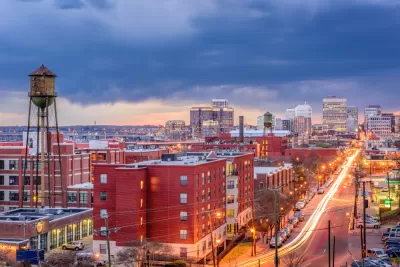
An article by Tiff Murray-Robertson spotlights Virginia Commonwealth University L. Douglas Wilder School of Government and Public Affairs student LaToya Gray-Sparks, who designed “an interactive digital story map that details the efforts of Richmond authorities during the 1930s and ‘40s to displace residents from the city’s Black communities — effectively destroying neighborhoods for generations.”
In addition to documenting the physical destruction of neighborhoods in the mid-twentieth century, the project, titled Planned Destruction, “also visually captures the changing landscape with historic and contemporary maps of the entire city, including Black and white populations, median household incomes, poverty rates and property value.”
Gray-Sparks was selected as one of 25 scholars participating in “Toward a People’s History of Landscape,” a summer institute from the National Endowment for the Humanities. “The highly competitive professional development program supports research and exploration of the nation’s cultural and geographical landscape through social histories, centering on Black and Indigenous historical narratives in the founding of the United States.” According to the article, “During the immersive three-week program, Gray-Sparks will collaborate with scholars to develop online, open-source curriculum modules that teach landscape-oriented social histories.”
FULL STORY: Investigating Richmond’s history of displaced communities

Seattle Exhibit Grapples With Redlining Past and Present
A creative exhibit highlights how redlining and racist exclusion persist today.
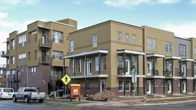
Formerly Redlined Denver Neighborhoods Are Now Gentrification Hotspots
Prices remain depressed in most formerly redlined neighborhoods, but several such areas in Denver now boast higher home values than the city as a whole.

Report Links Zoning and Land Use to Structural Racism
The historically comprehensive study outlines the policies that have shaped homeownership, generational wealth, and economic development in the Puget Sound region.

Maui's Vacation Rental Debate Turns Ugly
Verbal attacks, misinformation campaigns and fistfights plague a high-stakes debate to convert thousands of vacation rentals into long-term housing.

Planetizen Federal Action Tracker
A weekly monitor of how Trump’s orders and actions are impacting planners and planning in America.

San Francisco Suspends Traffic Calming Amidst Record Deaths
Citing “a challenging fiscal landscape,” the city will cease the program on the heels of 42 traffic deaths, including 24 pedestrians.

Defunct Pittsburgh Power Plant to Become Residential Tower
A decommissioned steam heat plant will be redeveloped into almost 100 affordable housing units.

Trump Prompts Restructuring of Transportation Research Board in “Unprecedented Overreach”
The TRB has eliminated more than half of its committees including those focused on climate, equity, and cities.

Amtrak Rolls Out New Orleans to Alabama “Mardi Gras” Train
The new service will operate morning and evening departures between Mobile and New Orleans.
Urban Design for Planners 1: Software Tools
This six-course series explores essential urban design concepts using open source software and equips planners with the tools they need to participate fully in the urban design process.
Planning for Universal Design
Learn the tools for implementing Universal Design in planning regulations.
Heyer Gruel & Associates PA
JM Goldson LLC
Custer County Colorado
City of Camden Redevelopment Agency
City of Astoria
Transportation Research & Education Center (TREC) at Portland State University
Jefferson Parish Government
Camden Redevelopment Agency
City of Claremont