


The agency’s director wants to change the city’s transportation priorities and provide more mobility options to residents.

Dallas established a Department of Transportation just last year, and Michael Rogers, the city’s new transportation director, envisions a more connected city less focused on cars. Rogers is taking steps to bring comprehensive transportation planning and multimodal networks to Dallas. In addition, he is behind the use of data analytics that brought electric scooters to the city and have helped guide pedestrian safety projects.
Emily Nonko reports that Rogers has also taken on the Texas Department of Transportation by challenging plans to widen Interstate 30 East, a move that city leaders described as "radical":
He pushed back, offering his own "guiding principles" for the redesign. They included better connections for cyclists and pedestrians, no highway expansion in height or width, and bringing the elevated portion of the road below grade to reconnect neighborhoods that have been torn apart by infrastructure development.
Rogers has plans to continue a shift away from a singular focus on road projects, develop a strategic mobility plan, and make public input an integral part of the planning process.
Still, Nonko points out that Dallas faces a long road and many hurdles in improving the region’s transportation system, particularly around transit. "A big criticism of Dallas Area Rapid Transit’s sprawling rail system: While the largest in the country, it’s inefficient and doesn’t effectively serve many dense neighborhoods."
FULL STORY: Dallas DOT Is Making Plans for a Better-Connected City

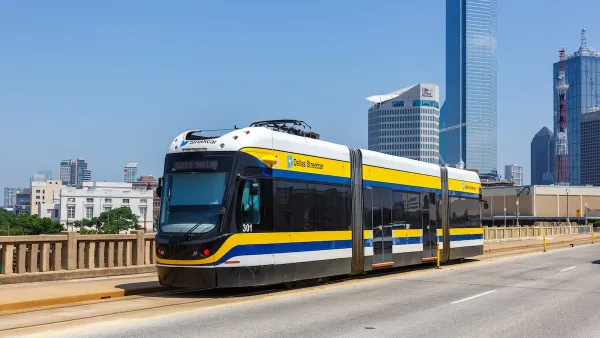
Dallas, Suburbs Clash Over DART Funding
The city voted to ‘fully fund’ its rapid transit system, but northern suburbs are moving to reduce funding.
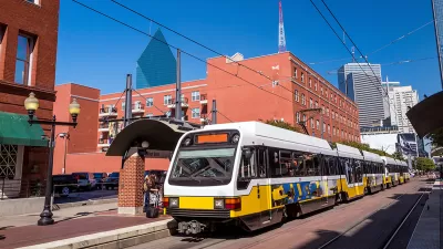
Dallas Council Begrudgingly Keeps Downtown Streetcar Alive
Council members complain that the Oak Cliff Streetcar is a "vanity project" that drains money from other potential transit improvements.
The Right Planning Consultant Could Make All of the Difference
Between DART service optimization and deciding the fate of I-345, Dallas has big of decisions to make. The right consultant, who understands accurate framing of planning issues, could help choose a route that best serves Dallasites.

Planetizen Federal Action Tracker
A weekly monitor of how Trump’s orders and actions are impacting planners and planning in America.

Congressman Proposes Bill to Rename DC Metro “Trump Train”
The Make Autorail Great Again Act would withhold federal funding to the system until the Washington Metropolitan Area Transit Authority (WMATA), rebrands as the Washington Metropolitan Authority for Greater Access (WMAGA).

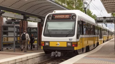
DARTSpace Platform Streamlines Dallas TOD Application Process
The Dallas transit agency hopes a shorter permitting timeline will boost transit-oriented development around rail stations.

Renters Now Outnumber Homeowners in Over 200 US Suburbs
High housing costs in city centers and the new-found flexibility offered by remote work are pushing more renters to suburban areas.

The Tiny, Adorable $7,000 Car Turning Japan Onto EVs
The single seat Mibot charges from a regular plug as quickly as an iPad, and is about half the price of an average EV.

Supreme Court Ruling in Pipeline Case Guts Federal Environmental Law
The decision limits the scope of a federal law that mandates extensive environmental impact reviews of energy, infrastructure, and transportation projects.
Urban Design for Planners 1: Software Tools
This six-course series explores essential urban design concepts using open source software and equips planners with the tools they need to participate fully in the urban design process.
Planning for Universal Design
Learn the tools for implementing Universal Design in planning regulations.
Municipality of Princeton
Roanoke Valley-Alleghany Regional Commission
City of Mt Shasta
City of Camden Redevelopment Agency
City of Astoria
Transportation Research & Education Center (TREC) at Portland State University
US High Speed Rail Association
City of Camden Redevelopment Agency
Municipality of Princeton (NJ)