


Maps of planned, never built, and defunct transit systems in cities from Cleveland to Atlanta and Phoenix back to Cincinnati are for sale.

Nick Swartsell shares the work of artist and transit enthusiast Jake Merman, who creates maps of "lost" subways and streetcar systems. These maps include systems that have been ripped out, and many that were planned and never built.
"He's drawn maps of Detroit's streetcar system circa 1950, a 1997 monorail proposal in Seattle, Cleveland's Electric Interurban Railway circa 1898 and a number of others," writes Swartsell.
Swartsell's specific interest in Merman's work stems from two maps of Cincinnati. "One shows Cincinnati's ill-fated subway system, color-coded by sections of the proposed 16-mile loop that still exist today, those that were built but later demolished and those that never left the drawing board, along with proposed connections to streetcars," explains Swartsell. "Berman's other Cincinnati-centric map features the 2002 Metro Moves initiative, a vast multi-modal transit system that would have been financed with a half-cent Hamilton County sales tax increase."
FULL STORY: Check Out These Cincinnati Transit Maps That Could Have Been

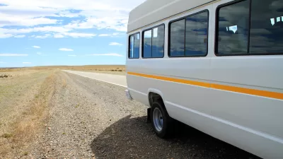
Minnesota, Vermont Experiment With Rural Trip Planning Websites
Pilot programs in the two states aimed to make transit information more accessible for riders in rural areas, where on-demand and microtransit services make trip planning more complex.
Excerpt: How Individualism Harms Public Transit
Jarrett Walker calls for a more social approach to transit planning.
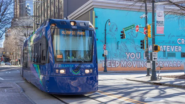
Atlanta Launches Regional Transit App
The app streamlines transit information from the region’s sometimes disjointed public transit system, which covers 13 counties.

Planetizen Federal Action Tracker
A weekly monitor of how Trump’s orders and actions are impacting planners and planning in America.

Map: Where Senate Republicans Want to Sell Your Public Lands
For public land advocates, the Senate Republicans’ proposal to sell millions of acres of public land in the West is “the biggest fight of their careers.”

Restaurant Patios Were a Pandemic Win — Why Were They so Hard to Keep?
Social distancing requirements and changes in travel patterns prompted cities to pilot new uses for street and sidewalk space. Then it got complicated.

Platform Pilsner: Vancouver Transit Agency Releases... a Beer?
TransLink will receive a portion of every sale of the four-pack.

Toronto Weighs Cheaper Transit, Parking Hikes for Major Events
Special event rates would take effect during large festivals, sports games and concerts to ‘discourage driving, manage congestion and free up space for transit.”

Berlin to Consider Car-Free Zone Larger Than Manhattan
The area bound by the 22-mile Ringbahn would still allow 12 uses of a private automobile per year per person, and several other exemptions.
Urban Design for Planners 1: Software Tools
This six-course series explores essential urban design concepts using open source software and equips planners with the tools they need to participate fully in the urban design process.
Planning for Universal Design
Learn the tools for implementing Universal Design in planning regulations.
Heyer Gruel & Associates PA
JM Goldson LLC
Custer County Colorado
City of Camden Redevelopment Agency
City of Astoria
Transportation Research & Education Center (TREC) at Portland State University
Camden Redevelopment Agency
City of Claremont
Municipality of Princeton (NJ)