A 7.5 magnitude earthquake struck the Indonesian island of Sulawesi on Sept. 25, followed by a massive tsunami. Soil liquefaction caused by the tremor resulted in 1,700 homes being "swallowed" as the soil shifted. Deaths exceeded 1,400 on Oct. 3.


"Dramatic footage has emerged from the city of Palu on the Indonesian island of Sulawesi, with buildings collapsing as the ground slides beneath them," reports Nicola Davis for The Guardian. See the satellite image of Balaroa neighbourhood on October 1. On Wednesday, deaths surpassed 1,400.
Joe Sommerlad of The Independent provides a succinct description of the process of soil liquefaction, explaining what happened on Sulawesi, the etymology of the term, and other quakes where played a role in great death and destruction.
What is liquefaction?
The term refers to saturated sand and silt – that is, ground in which the space between particles is completely filled with water – taking on liquid form after the earth is subjected to aggressive disturbance by a powerful quake. Areas with shallow water tables close to the sea or rivers are particularly susceptible.
The quake increases water pressure, causing particles in the soil to lose contact with one another and sandy ground to ooze apart, potentially creating landslides and rattling buildings, trees, and telegraph poles as the shifting earth slides about beneath them.
If conditions are right, the earth acts like quicksand, according to American hydrological expert Allen Hazen, who is credited with creating the word while investigating the fall of California’s Calaveras Dam in 1918.
What happened in Indonesia?
In Sulawesi, approximately 1,700 houses were swallowed up in the Palu neighbourhood of Balaroa while an entire new development in Petobo was wiped away as though it had never been there.
"When the quake hit, the layers below the surface of the earth became muddy and loose," said Sutopo Purwo Nugroho, spokesman for Indonesia's national disaster mitigation agency.
Mitigation techniques
"Dr. Stavroula Kontoe of Imperial College London says disasters are not inevitable, adds Davis of The Guardian.
"There are several mitigation techniques which can limit or even eliminate [soil liquefaction's] consequences. These techniques usually involve strengthening the soil deposits in areas where liquefaction has been identified as a major hazard and/or adopting drainage measures to prevent the increase of the water pressure during the strong shaking."
"Dr. Carmine Galasso from University College London agrees there are ways to reduce risk," continues Davis.
"Building codes and standards in many countries require engineers to consider the effects of soil liquefaction in the design of new buildings and infrastructure such as bridges, embankment dams and retaining structures," he said.
Where else has the phenomenon occurred?
"The problem was last experienced on such a serious scale in Urayasu, Japan, following the 2011 Tōhoku earthquake and tsunami," adds Sommerlad. The earthquake is identified with the Fukushima Daiichi nuclear disaster. As much as 86 percent of the city's land was liquefied as a result of the disaster, which killed 15,896 people in total. It took six years to repair the damage to its subterranean sewage, water, and gas facilities.
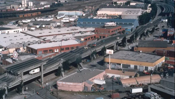
In the U.S., liquefaction of soils below the Marina District in San Francisco during the 1989 Loma Prieta Earthquake caused massive destruction.
Read the full story: Indonesia earthquake: What is liquefaction and what role did it play in the natural disaster?

Bay Area Not Prepared for Next Big One
As the death toll from Mexico's 7.1 magnitude earthquake on Sept. 19 climbs above 300, the San Francisco Chronicle investigates how well prepared the Bay Area is for an earthquake of comparable magnitude. Not very well.
When it Comes to Seismic Safety, It's Each City for Itself
Buildings constructed of unreinforced masonry get much if not most of the media's attention on seismic safety, but so-called 'soft story' wood buildings, often with garages on the ground floor, compose the greatest numbers of vulnerable buildings.
San Francisco Considers More Aggressive Measures to Earthquake-Proof High Rises
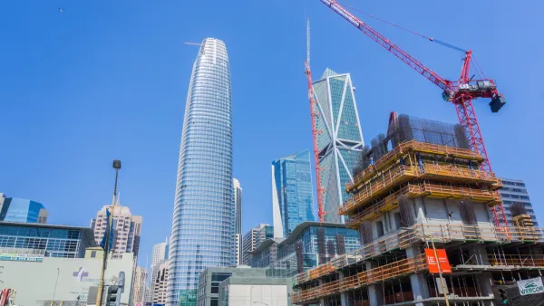
The city has proposed tighter rules for new construction and a more active approach to securing existing tall structures from collapse.

Planetizen Federal Action Tracker
A weekly monitor of how Trump’s orders and actions are impacting planners and planning in America.

Amtrak, CN end decades-long dispute with eight-year agreement
The new operating agreement establishes an updated framework for the companies to work together, including processes to resolve disputes.

Judges permit Denver to divert 77,000 acre feet from the Colorado River for reservoir expansion
Overuse and climate change have caused the Colorado River’s water levels to plummet.
NYC DOT wants faster, more permanent street upgrades
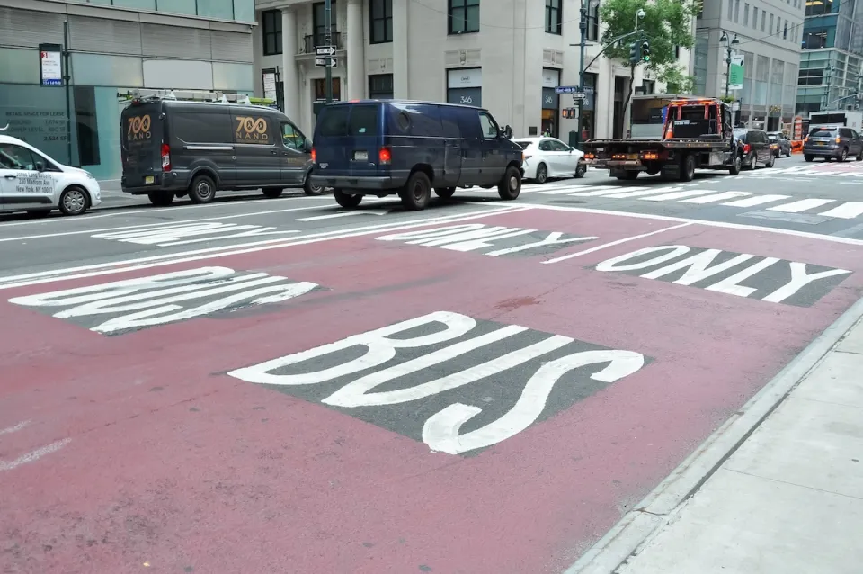
The city is examining ways to build more concrete infrastructure without getting entangled in 'decades-long' projects.

'Something we’ve never seen before:' rising utility rates could strain city finances nationwide
Data centers, climate change and other factors have caused utility rates in the United States to increase by 38% since 2020.

Trump to overrule local leaders, lease millions of acres of America’s Pacific Island territories’ seafloors to mining companies
International law says that the Indigenous people of America’s territories have a right to prior and informed consent regarding projects that impact their countries.

FREE Course: Walkable City 1: Why Walkability?
After describing his path towards focusing on walkability as the essence of good planning, Jeff Speck marches through his five principal reasons for making more walkable places.
Reinventing Malls: Planning Alchemy—Turning Gray Fields Into Gold
The course focuses on the opportunities and imperatives that shape reinvention of mall sites.

Harvard University Graduate School of Design
KFH Group Inc.
Greater Baltimore Committee
The Architects Foundation
University of Cincinnati Online
The Pocatello Development Authority
The Urban Renewal Agency of the City of Pocatello