The city council approved reduced speed limits on streets designated as high-risk corridors, school zones, and other areas as part of its Vision Zero strategy.


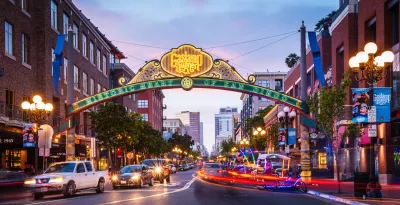
The San Diego City Council approved a resolution that will lower speed limits on around 20 percent of the city’s streets as part of its Comprehensive Speed Management Plan, reports Joey Safchik for NBC 7 San Diego.
According to the city, the effort uses a “data-driven, city-wide approach to lower speed limits across San Diego's neighborhoods, commercial corridors, and school zones” to align speed limits with Vision Zero goals.
The initiative follows new state laws that give cities more flexibility in determining speed limits in certain areas. “Corridors with higher comparative fatal or serious injury crashes can see 5 mph reductions, as can areas with high pedestrian and bicyclist activity. Business districts can be reduced to 25 or 20 mph and school zones can reduce speeds to 15 mph or 20 mph within 500 feet of schools, and 25 mph between 501 and 1,000 feet on qualifying nearby approach streets, the city statement read.”
Based on the new regulations, San Diego found that over one-fifth of its roads, or 679.1 miles, could have their speed limits reduced based on their status as crash-heavy corridors, pedestrian and bike activity corridors, business activity districts, or school zones.
According to Safchik, “The plan could go into effect next fiscal year, depending on funding through the city's annual budget process. Implementation is expected to cost about $2 million, mainly to update signage across the city.”
FULL STORY: San Diego City Council approves lowering speed limits on 20% of city streets

San Diego to Lower Speed Limits on 11 Streets
A 2022 state law allows cities to reduce speed limits for safety reasons rather than relying on average traffic speeds to dictate speed limits.
San Diego budget axes multimodal team at DOT
The budget scales back funding for some bike lane and traffic safety projects that are already in the works.
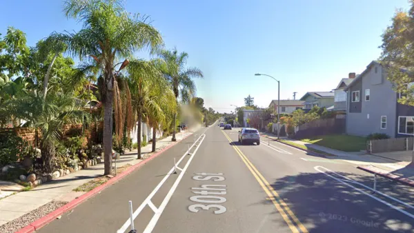
After San Diego Installed a Protected Bike Lane, Ridership More Than Doubled — and Hasn’t Stopped Growing.
“When people feel safe, they ride.”

Planetizen Federal Action Tracker
A weekly monitor of how Trump’s orders and actions are impacting planners and planning in America.

The state-sanctioned urbicide of Austin
People don’t kill cities. Freeways do.

US to reduce Colorado River water deliveries to Mexico
A new Colorado Treaty amendment reduces Mexico’s Colorado River water allocation by 250,000 acre feet.

5 New England states march closer to 800 megawatt wind energy project
Securing federal approval for the project may be complicated under the Trump administration, which has historically been hostile towards domestic wind power.

Baltimore to break ground on $50 million Transit Priority Project
The project will bring faster bus trips, safer streets and better bike connections to Baltimore.

Airbnb launches $250 million 'last-dollar financing' housing accelerator, makes first investment in Austin
The company will put $6.4 million towards affordable housing development in Texas’ capital.

FREE Course: Walkable City 1: Why Walkability?
After describing his path towards focusing on walkability as the essence of good planning, Jeff Speck marches through his five principal reasons for making more walkable places.
Reinventing Malls: Planning Alchemy—Turning Gray Fields Into Gold
The course focuses on the opportunities and imperatives that shape reinvention of mall sites.

Eagle County Government
Harvard University Graduate School of Design
Nashville Planning Department
The Architects Foundation
University of Cincinnati Online
The Pocatello Development Authority
The Urban Renewal Agency of the City of Pocatello
Journal of the American Planning Association