


Infrastructure built to mitigate flooding a century ago no longer serves current needs.
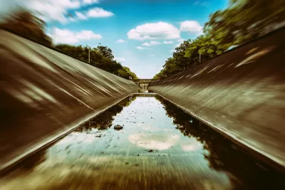
A new study from the University of Michigan reveals that stormwater infrastructure in many U.S. cities actually exacerbates flooding due to outdated designs that are no longer effective during extreme weather events, reports Jim Lynch for Tech Xplore.
The problem lies in traditional planning's failure to recognize flood connectivity: how surface runoff from driveways, lawns and streets—and the flows in river channels and pipes—are all interlinked. The result is interactions, often unanticipated, between different stormwater systems that can make flooding worse.
The study used data from flooding in Metro Detroit in 2014, when record-breaking rainfall caused $1.8 billion in damage. According to Vinh Tran, U-M assistant research scientist in civil and environmental engineering and co-first author of the study, “Current flood mapping practices are indicative of outdated thinking that needs to change.” Policy recommendations based on that data include:
- “Stormwater system designs should take a holistic, systemwide approach to flood mitigation, rather than the conventional approach focused on local solutions.”
- “Design guidelines for stormwater systems should be revised to consider connectivity in urban landscapes, including flows in subsurface infrastructure such as pipes and sewers, open channel flows such as rivers and streams, and overland flows over natural and built surfaces.”
- “Advanced computer models that represent the full spectrum of stormwater elements and the behavior of water in them should be mandated.”
FULL STORY: Traditional infrastructure design often makes extreme flooding events worse, researchers find


Wastewater System Upgrade Plans Already Out of Date
Some Midwest cities' plans to upgrade decades-old sewer systems rely on outdated rainfall predictions as flood risks grow due to climate change and shifting weather patterns.
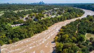
New Stormwater Resilience Measures Approved in Austin
The Austin City Council adopted the latest in a series of measures intended to improve the city's stormwater resilience after experiencing repeated flooding events in the past decade.

How US Communities Are Building Resilience Against Flooding
Flooding causes over $400 billion in damage in the United States every year.

Maui's Vacation Rental Debate Turns Ugly
Verbal attacks, misinformation campaigns and fistfights plague a high-stakes debate to convert thousands of vacation rentals into long-term housing.

Planetizen Federal Action Tracker
A weekly monitor of how Trump’s orders and actions are impacting planners and planning in America.

In Urban Planning, AI Prompting Could be the New Design Thinking
Creativity has long been key to great urban design. What if we see AI as our new creative partner?

King County Supportive Housing Program Offers Hope for Unhoused Residents
The county is taking a ‘Housing First’ approach that prioritizes getting people into housing, then offering wraparound supportive services.

Researchers Use AI to Get Clearer Picture of US Housing
Analysts are using artificial intelligence to supercharge their research by allowing them to comb through data faster. Though these AI tools can be error prone, they save time and housing researchers are optimistic about the future.

Making Shared Micromobility More Inclusive
Cities and shared mobility system operators can do more to include people with disabilities in planning and operations, per a new report.
Urban Design for Planners 1: Software Tools
This six-course series explores essential urban design concepts using open source software and equips planners with the tools they need to participate fully in the urban design process.
Planning for Universal Design
Learn the tools for implementing Universal Design in planning regulations.
planning NEXT
Appalachian Highlands Housing Partners
Mpact (founded as Rail~Volution)
City of Camden Redevelopment Agency
City of Astoria
City of Portland
City of Laramie