The city’s geography and the growing intensity of storms due to climate change are making it difficult for local officials to prevent neighborhood flooding and wastewater spills.


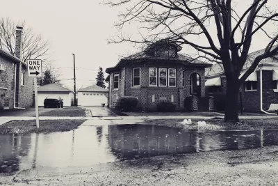
In an article for the Chicago Tribune and republished in Governing, Michael Hawthorne and Adriana Pérez describe how Chicago’s efforts to mitigate higher flood risks are not keeping up with the effects of climate change.
The Deep Tunnel, a $3.8 billion subterranean flood control project officially known as the Tunnel and Reservoir Plan (TARP), is designed to prevent flooding and keep wastewater and industrial runoff out of local waterways. But earlier this month, during a heavy storm, 20 overflow pipes in Cook County spewed runoff and waste. “Recent storms suggest rain can now fall so quickly that stormwater tunnels can’t move runoff to the reservoir fast enough to prevent sewage overflows and basement backups in the 252 square miles of Chicago and County served by the main part of the system.”
The prognosis is grim: “In 2010, [Don] Wuebbles and other scientists hired by former Mayor Richard M. Daley concluded that rains of more than 2.5 inches a day, the amount that can trigger sewage dumping into Lake Michigan, were expected to increase by 50 percent by 2039.”
As the authors point out, “Like so many other societal ills, the consequences hit the poorest Chicagoans the hardest. After a major storm in 2013, city officials determined the damages were concentrated in low- and middle-income census tracts on the West and South sides, similar to where many 311 calls originated after the more recent storms.”
The Water Reclamation District is partnering with local governments to build more retention basins, particularly in areas where flooding has occurred repeatedly.
Read the full story: Chicago’s Flood-Control Project Can’t Contend With Climate Change
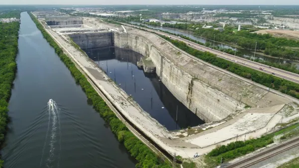
Chicago's underground flood control system is almost full
The system known as Deep Tunnel has never filled much more than halfway, but the cumulative effect of recent rains is putting suburban communities at risk of flooding.
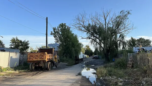
NYC Will Finally Bring Sewer System to Flood-Prone Brooklyn Neighborhood
A 12-block area known as ‘The Hole’ straddling Brooklyn and Queens has struggled with flooding and sewage contamination for decades.
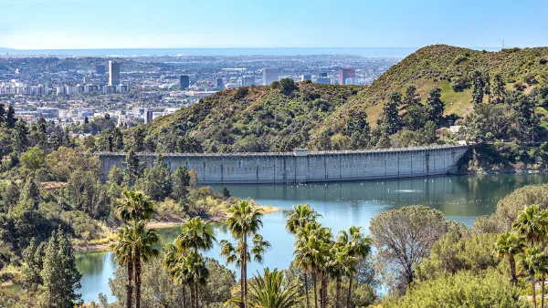
California's Stormwater Potential
A new study reveals that if California could collect and treat more stormwater in cities, it could provide enough water to supply a quarter of the state’s urban population.

Planetizen Federal Action Tracker
A weekly monitor of how Trump’s orders and actions are impacting planners and planning in America.

Eastern Nebraska is running out of electricity
Data centers and electrification are straining eastern Nebraska’s grid, throttling economic development.
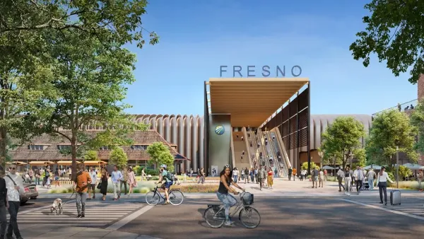
California High-Speed Rail Authority picks trainset manufacturer
The California High-Speed Rail Authority aims to start servicing passengers by 2033.

States are counting on battery farms. Some towns don’t want them.
While fire safety has improved, some communities are still wary.

Dallas releases zoning code overhaul to officials
The drafted overhaul is over 400 pages long.

NYC renovations for dangerous, ‘mercilessly crammed’ street delayed until 2027
Construction was supposed to begin this fall.

FREE Course: Walkable City 1: Why Walkability?
After describing his path towards focusing on walkability as the essence of good planning, Jeff Speck marches through his five principal reasons for making more walkable places.
Reinventing Malls: Planning Alchemy—Turning Gray Fields Into Gold
The course focuses on the opportunities and imperatives that shape reinvention of mall sites.

City of Rosemead
Rutgers University, Edward J. Bloustein School of Planning and Public Policy
One Hundred Miles
University of Michigan School for Environment and Sustainability (SEAS)
Hunter College, City University of New York (CUNY)
The Architects Foundation
City of Cambridge
The Pocatello Development Authority
The Urban Renewal Agency of the City of Pocatello